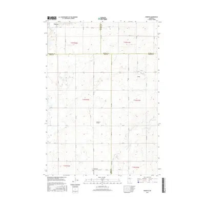
2016 Map of Kenneth
USGS Topo · Published 2016About this map
The Coteau des Prairies plateau dominates this section of Southwest Minnesota, defining a landscape of glacial upland and prairie stream systems. The map covers the intersection of four counties—Pipestone, Murray, Rock, and Nobles—showing the organized grid of section lines and gravel roads that support the region's agricultural economy. The settlement of Edgerton sits in the northwest corner along the Rock River, while the small community of Leota and the Leota Cem serve the central rural township. Further south, the town of Kenneth marks the lower portion of the quadrangle. Water drainage is defined by the winding paths of Chanorambie Cr and Champepadan Cr, which cut through the high ground of the Coteau. This survey captures the rural character of the area, from the farmsteads along Co Hwy 1 to the remote prairie stretches of the Rock and Nobles county line.
Find a feature on this map
58 named features on this map. Tap any name to fly to it.
Don’t see what you’re looking for? This feature index may not catch every label — zoom into the map to look around manually.
Map Details
Editions of this 2016 Kenneth Map
This is the sole edition of this map. No revisions or reprints were ever made.
Other maps of this area

1954 · Fairmont
USGS Topo · 1:250,000

1955 · Sioux Falls
USGS Topo · 1:250,000

1958 · Sioux Falls
USGS Topo · 1:250,000

1958 · Fairmont
USGS Topo · 1:250,000

1967 · Edgerton South
USGS Topo · 1:24,000

1967 · Slayton SW
USGS Topo · 1:24,000

1967 · Magnolia
USGS Topo · 1:24,000

1967 · Edgerton North
USGS Topo · 1:24,000

1967 · Edgerton NE
USGS Topo · 1:24,000

1967 · Kenneth
USGS Topo · 1:24,000