Loading...
Loading map...2023 Map of Kennewick
USGS Topo · Published 2023About this map
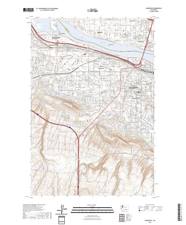
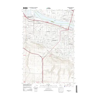
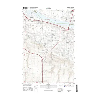
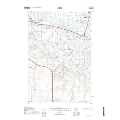
The Columbia River and its accompanying Lake Wallula define this modern landscape where Richland, Pasco, and Kennewick converge. The intricate water management system is visible through the Columbia Canal, Highland Feeder Canal, and the Division Four Canal, illustrating the vital irrigation network that transformed this arid region. Near the river, Wade Island and Island View sit adjacent to the bustling Richland Junction.
Find a feature on this map
118 named features on this map. Tap any name to fly to it.
Don’t see what you’re looking for? This feature index may not catch every label — zoom into the map to look around manually.
Map Details
Date Portrayed2023
Date Published2023
PublisherU.S. Geological Survey
Map TypeTopographic
Scale1:24,000
Physical Dimensions24 x 29 inches
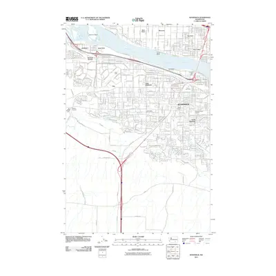
Editions of this 2023 Kennewick Map
This is the sole edition of this map. No revisions or reprints were ever made.
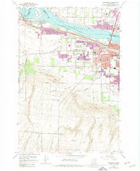
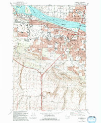
Historical Maps of Kennewick Through Time
7 maps found
Featured Locations
Source Details
SourceU.S. Geological Survey
CopyrightPublic Domain