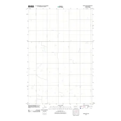
2011 Map of Kensal NW
USGS Topo · Published 2011About this map
Foster County farmland in North Dakota is defined by a rigorous section-line grid of rural roads and scattered prairie potholes. The landscape reflects the orderly settlement patterns of the American Midwest, where the township and range system dictated the placement of travel routes like 85th Ave Ne and 90th Ave Ne. This survey captures the rural infrastructure at a time when traditional agriculture remained the primary use of the land, showing the intersection of local routes such as 1st St Ne and 2nd St Ne. The abundance of small, seasonal water bodies across the terrain suggests a drainage pattern characteristic of the glaciated plains, providing a detailed look at the hydrology of this specific quadrangle between the northern and southern extensions of the county roads.
Find a feature on this map
16 named features on this map. Tap any name to fly to it.
Don’t see what you’re looking for? This feature index may not catch every label — zoom into the map to look around manually.
Map Details
Editions of this 2011 Kensal NW Map
This is the sole edition of this map. No revisions or reprints were ever made.
Other maps of this area

1900 · Pingree
USGS Topo · 1:125,000

1944 · Brantford
USGS Topo · 1:62,500

1946 · Brantford
USGS Topo · 1:62,500

1949 · Grace City
USGS Topo · 1:24,000

1950 · Grace City
USGS Topo · 1:24,000

1951 · Bordulac NE
USGS Topo · 1:24,000

1951 · Arrowwood Lake
USGS Topo · 1:24,000

1951 · Kensal
USGS Topo · 1:24,000

1951 · Kensal NW
USGS Topo · 1:24,000

1951 · Kensal SE
USGS Topo · 1:24,000