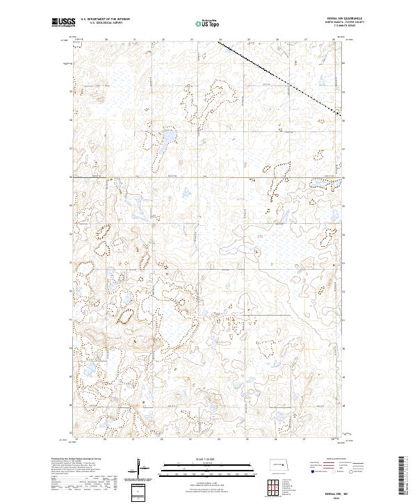
2024 Map of Kensal NW
USGS Topo · Published 2024About this map
Glacial prairie potholes and seasonal wetlands define this section of Foster County, where the landscape is etched with the precise grid of the Public Land Survey System. The area is dominated by the intersection of rural townships including t146n r63w and t145n r63w, reflecting the agricultural organization of the North Dakota plains. A network of section-line roads provides the primary infrastructure for the region, anchored by the north-south corridor of Juanita Rd.
Find a feature on this map
13 named features on this map. Tap any name to fly to it.
Don’t see what you’re looking for? This feature index may not catch every label — zoom into the map to look around manually.
Map Details
Editions of this 2024 Kensal NW Map
This is the sole edition of this map. No revisions or reprints were ever made.
Other maps of this area

1900 · Pingree
USGS Topo · 1:125,000

1944 · Brantford
USGS Topo · 1:62,500

1946 · Brantford
USGS Topo · 1:62,500

1949 · Grace City
USGS Topo · 1:24,000

1950 · Grace City
USGS Topo · 1:24,000

1951 · Bordulac NE
USGS Topo · 1:24,000

1951 · Arrowwood Lake
USGS Topo · 1:24,000

1951 · Kensal
USGS Topo · 1:24,000

1951 · Kensal NW
USGS Topo · 1:24,000

1951 · Kensal SE
USGS Topo · 1:24,000