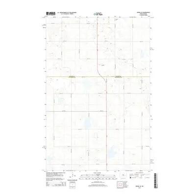
2014 Map of Kensal SE
USGS Topo · Published 2014About this map
The prairie landscape of the central North Dakota plains is defined here by the sharp geometric intersection of Foster Co and Stutsman Co. This agricultural grid, structured by a network of rural routes including 3rd St SE and 92nd Ave SE, reflects the enduring Homestead Act legacy of the Great Plains. The most significant historical marker on this landscape is the Eastman Cem located in the northern reaches, serving as a silent record of the families who settled these sections. The terrain itself is characterized by countless small glacial potholes and wetlands that punctuate the farmland between roads like 11th St SE, creating a complex drainage pattern that has challenged and shaped farming practices in the region for generations.
Find a feature on this map
18 named features on this map. Tap any name to fly to it.
Don’t see what you’re looking for? This feature index may not catch every label — zoom into the map to look around manually.
Map Details
Editions of this 2014 Kensal SE Map
This is the sole edition of this map. No revisions or reprints were ever made.
Other maps of this area

1900 · Pingree
USGS Topo · 1:125,000

1951 · Kensal
USGS Topo · 1:24,000

1951 · Kensal NW
USGS Topo · 1:24,000

1951 · Courtenay
USGS Topo · 1:24,000

1951 · Kensal SE
USGS Topo · 1:24,000

1951 · Glenfield
USGS Topo · 1:24,000

1952 · Courtenay NW
USGS Topo · 1:24,000

1952 · New Rockford
USGS Topo · 1:250,000

1956 · New Rockford
USGS Topo · 1:250,000

1961 · Sutton
USGS Topo · 1:24,000