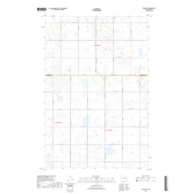
2018 Map of Kensal SE
USGS Topo · Published 2018About this map
Eastman Cem stands as a lonely landmark in the northern reaches of this rural landscape, marking the intersection of family history and the prairie. The terrain is defined by the irregular wetlands and seasonal ponds characteristic of the Missouri Coteau, where the boundary between Foster Co and Stutsman Co bisects the sections. The land is organized by a rigid grid of gravel section-line roads such as 90th Ave SE and 92nd Ave SE, which facilitate access to the surrounding agricultural tracts. While major settlements are absent, the presence of Co Hwy 44 and named thoroughfares like Soo St indicate the local transit patterns that have sustained these farming communities into the twenty-first century. This survey documents the persistent rural character of the North Dakota plains, where small cemeteries and section lines remain the primary anchors for genealogical research.
Find a feature on this map
59 named features on this map. Tap any name to fly to it.
Don’t see what you’re looking for? This feature index may not catch every label — zoom into the map to look around manually.
Map Details
Editions of this 2018 Kensal SE Map
This is the sole edition of this map. No revisions or reprints were ever made.
Other maps of this area

1900 · Pingree
USGS Topo · 1:125,000

1951 · Kensal
USGS Topo · 1:24,000

1951 · Kensal NW
USGS Topo · 1:24,000

1951 · Courtenay
USGS Topo · 1:24,000

1951 · Kensal SE
USGS Topo · 1:24,000

1951 · Glenfield
USGS Topo · 1:24,000

1952 · Courtenay NW
USGS Topo · 1:24,000

1952 · New Rockford
USGS Topo · 1:250,000

1956 · New Rockford
USGS Topo · 1:250,000

1961 · Sutton
USGS Topo · 1:24,000