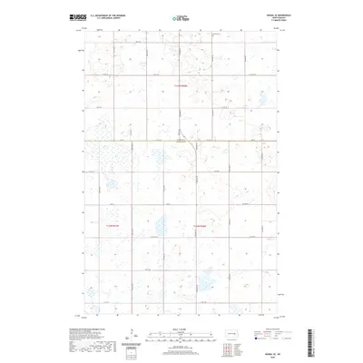
2020 Map of Kensal SE
USGS Topo · Published 2020About this map
Eastman Cem marks a small footprint in the northern section of this landscape, situated just north of the Foster Co Stutsman Co line. The terrain is defined by a dense network of wetlands and small water bodies that pocket the prairie, shaping the irregular paths of local roads. The Public Land Survey System grid remains the dominant organizing force, with section lines and townships such as T145n R62w and T144n R62w dictating the placement of the rural transport network.
Find a feature on this map
22 named features on this map. Tap any name to fly to it.
Don’t see what you’re looking for? This feature index may not catch every label — zoom into the map to look around manually.
Map Details
Editions of this 2020 Kensal SE Map
This is the sole edition of this map. No revisions or reprints were ever made.
Other maps of this area

1900 · Pingree
USGS Topo · 1:125,000

1951 · Kensal
USGS Topo · 1:24,000

1951 · Kensal NW
USGS Topo · 1:24,000

1951 · Courtenay
USGS Topo · 1:24,000

1951 · Kensal SE
USGS Topo · 1:24,000

1951 · Glenfield
USGS Topo · 1:24,000

1952 · Courtenay NW
USGS Topo · 1:24,000

1952 · New Rockford
USGS Topo · 1:250,000

1956 · New Rockford
USGS Topo · 1:250,000

1961 · Sutton
USGS Topo · 1:24,000