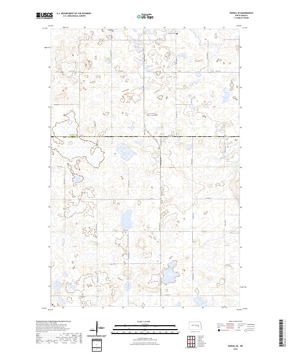
2024 Map of Kensal SE
USGS Topo · Published 2024About this map
The boundary between Foster Co and Stutsman Co runs along 6th St, dividing this central North Dakota prairie landscape into two distinct jurisdictions. This 2024 survey documents a region defined by its section-line road network and a scattering of glacial wetlands and ponds. The northern portion of the map is dominated by Township 145N Range 62W, while the southern half is split between Range 63W and 62W. Near the northeastern corner, Eastman Cem remains a notable landmark for local history and genealogy, situated just south of 3rd St SE. The area is connected by a grid of thoroughfares including 92nd Ave SE and Co Hwy 44, reflecting the rural agriculture and transportation patterns of the modern era.
Find a feature on this map
23 named features on this map. Tap any name to fly to it.
Don’t see what you’re looking for? This feature index may not catch every label — zoom into the map to look around manually.
Map Details
Editions of this 2024 Kensal SE Map
This is the sole edition of this map. No revisions or reprints were ever made.
Other maps of this area

1900 · Pingree
USGS Topo · 1:125,000

1951 · Kensal
USGS Topo · 1:24,000

1951 · Kensal NW
USGS Topo · 1:24,000

1951 · Courtenay
USGS Topo · 1:24,000

1951 · Kensal SE
USGS Topo · 1:24,000

1951 · Glenfield
USGS Topo · 1:24,000

1952 · Courtenay NW
USGS Topo · 1:24,000

1952 · New Rockford
USGS Topo · 1:250,000

1956 · New Rockford
USGS Topo · 1:250,000

1961 · Sutton
USGS Topo · 1:24,000