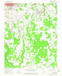
1964 Map of Kensett
USGS Topo · Published 1965About this map
Searcy and Kensett anchor this mid-1960s study of White County, where the urban grid of the county seat meets a landscape of bayous and rail lines. The presence of Harding College and the Searcy Municipal Airport highlights the regional importance of Searcy, while the Missouri Pacific railroad serves as a central spine through the town of Kensett and the village of Higginson. To the south, the terrain transitions into the wetlands of Garner Bayou and Carsons Slough, punctuated by small settlements like Griffithville and Happy.
Find a feature on this map
37 named features on this map. Tap any name to fly to it.
Don’t see what you’re looking for? This feature index may not catch every label — zoom into the map to look around manually.
Map Details
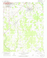
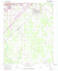
Editions of this 1964 Kensett Map
3 editions found
Other maps of this area

1932 · Kensett
USGS Topo · 1:62,500

1935 · Kensett
USGS Topo · 1:62,500

1935 · Bald Knob
USGS Topo · 1:62,500

1953 · Memphis
USGS Topo · 1:250,000

1956 · Memphis
USGS Topo · 1:250,000

1962 · Letona
USGS Topo · 1:24,000

1963 · Garner
USGS Topo · 1:24,000
1963 · Mc Rae
USGS Topo · 1:24,000
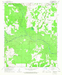
1964 · Walker
USGS Topo · 1:24,000
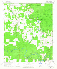
1964 · Jasmine
USGS Topo · 1:24,000