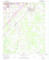
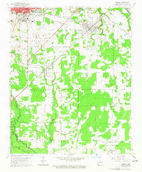
1964 Map of Kensett
USGS Topo · Published 1982About this map
Searcy and Kensett serve as the primary anchors in this White County landscape, where the Missouri Pacific line dictates the movement of people and industry across the Arkansas lowlands. The presence of Harding College on the eastern edge of Searcy highlights the town's role as a regional educational hub during the mid-20th century. To the south and east, the terrain transitions into a mosaic of small rural communities like Higginson, Morning Sun, and Happy, many of which are connected by relics of past transportation such as the Old RR Grade. The water systems of the Little Red River and Bayou Des Arc frame the agricultural and residential development, punctuated by several historic country churches and burial grounds including Morrow Ch, Ellis Chapel, and the Liberty Cem, offering a detailed view of local family heritage and settlement patterns.
Find a feature on this map
41 named features on this map. Tap any name to fly to it.
Don’t see what you’re looking for? This feature index may not catch every label — zoom into the map to look around manually.
Map Details
Editions of this 1964 Kensett Map
3 editions found
Other maps of this area

1932 · Kensett
USGS Topo · 1:62,500

1935 · Kensett
USGS Topo · 1:62,500

1935 · Bald Knob
USGS Topo · 1:62,500

1953 · Memphis
USGS Topo · 1:250,000

1956 · Memphis
USGS Topo · 1:250,000

1962 · Letona
USGS Topo · 1:24,000

1963 · Garner
USGS Topo · 1:24,000
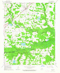
1963 · Mc Rae
USGS Topo · 1:24,000
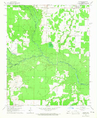
1964 · Walker
USGS Topo · 1:24,000
1964 · Kensett
USGS Topo · 1:24,000