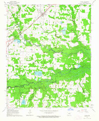
1963 Map of Mc Rae
USGS Topo · Published 1964About this map
The Missouri Pacific railroad corridor defines the development of central Arkansas in the early 1960s, cutting southwest through the town of McRae and toward Beebe. This period reflects a landscape heavily managed for aquaculture and agriculture, as evidenced by the numerous Fish Hatchery facilities scattered throughout the region. The map reveals a deeply rooted rural community, where social life centers on institutions like Harrison Chapel, Lebanon Ch, and David Chapel.
Find a feature on this map
40 named features on this map. Tap any name to fly to it.
Don’t see what you’re looking for? This feature index may not catch every label — zoom into the map to look around manually.
Map Details
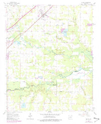
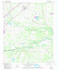
Editions of this 1963 Mc Rae Map
3 editions found
Other maps of this area

1932 · Kensett
USGS Topo · 1:62,500

1935 · Kensett
USGS Topo · 1:62,500

1935 · Hazen
USGS Topo · 1:62,500

1940 · Lonoke
USGS Topo · 1:62,500

1941 · Hazen
USGS Topo · 1:62,500

1948 · Helena
USGS Topo · 1:250,000

1949 · Lonoke
USGS Topo · 1:62,500

1950 · Helena
USGS Topo · 1:250,000

1950 · Lonoke
USGS Topo · 1:62,500

1953 · Memphis
USGS Topo · 1:250,000