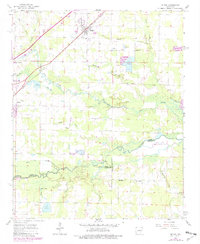
1963 Map of Mc Rae
USGS Topo · Published 1982About this map
The Missouri Pacific railroad corridor anchors the developing settlements of McRae and Beebe in the early 1960s, reflecting a landscape defined by both rail transport and water management. This Arkansas survey area marks the convergence of White, Prairie, and Lonoke counties, where the natural meanders of Cypress Bayou and Bull Creek are punctuated by man-made alterations like the Red Cut Slough.
Find a feature on this map
37 named features on this map. Tap any name to fly to it.
Don’t see what you’re looking for? This feature index may not catch every label — zoom into the map to look around manually.
Map Details
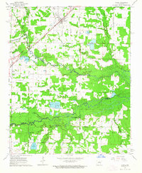
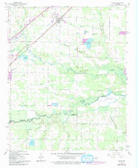
Editions of this 1963 Mc Rae Map
3 editions found
Other maps of this area

1932 · Kensett
USGS Topo · 1:62,500

1935 · Kensett
USGS Topo · 1:62,500

1935 · Hazen
USGS Topo · 1:62,500

1940 · Lonoke
USGS Topo · 1:62,500

1941 · Hazen
USGS Topo · 1:62,500

1948 · Helena
USGS Topo · 1:250,000

1949 · Lonoke
USGS Topo · 1:62,500

1950 · Helena
USGS Topo · 1:250,000

1950 · Lonoke
USGS Topo · 1:62,500

1953 · Memphis
USGS Topo · 1:250,000