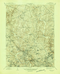
1945 Map of Kensington
USGS Topo · Published 1945About this map
Rock Creek and the Northwest Branch carve through this Montgomery County landscape, which shows the suburban transition of the Maryland countryside at the close of the war. While established towns like Kensington and Garrett Park are clearly defined by their street grids along the Baltimore and Ohio RR, the surrounding area is a mix of agricultural legacies and emerging institutions. Significant federal footprints are visible at the Naval Medical Center and the National Institute of Health in the south, contrasting with the scattered crossroads settlements and family cemeteries to the north.
Find a feature on this map
83 named features on this map. Tap any name to fly to it.
Don’t see what you’re looking for? This feature index may not catch every label — zoom into the map to look around manually.
Map Details
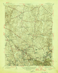
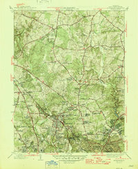
Editions of this 1945 Kensington Map
3 editions found
Other maps of this area

1890 · Mt. Vernon
USGS Topo · 1:125,000

1891 · Mt. Vernon
USGS Topo · 1:125,000

1892 · Laurel
USGS Topo · 1:62,500

1893 · Frederick
USGS Topo · 1:125,000

1894 · Laurel
USGS Topo · 1:62,500

1894 · Frederick
USGS Topo · 1:125,000

1894 · Mt. Vernon
USGS Topo · 1:125,000

1897 · Laurel
USGS Topo · 1:62,500

1897 · Mt. Vernon
USGS Topo · 1:125,000

1899 · Patuxent
USGS Topo · 1:125,000