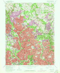
1965 Map of Kensington
USGS Topo · Published 1972About this map
Rock Creek and the Northwest Branch frame a landscape defined by rapid mid-century suburban expansion across Montgomery County. In this revision, the transition from agricultural tracts like Avery and Norbeck to planned residential communities is nearly complete. The prominence of massive institutional sites, including the National Institutes of Health and the Army Medical Center, underscores the region's role as a federal hub. Dense suburban neighborhoods such as Rock Creek Village, Garrett Park, and Sycamore Acres are knit together by major arterial roads like Georgia Avenue and Viers Mill Road. The emergence of modern commercial hubs is evidenced by the Wheaton Plaza Shopping Center, while numerous schools like Albert Einstein High Sch and Northwood High Sch reflect the post-war population boom. Pockets of preserved green space, such as Wheaton Regional Park, remain alongside established landmarks like the Gate of Heaven Cemetery.
Find a feature on this map
212 named features on this map. Tap any name to fly to it.
Don’t see what you’re looking for? This feature index may not catch every label — zoom into the map to look around manually.
Map Details
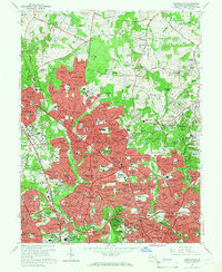
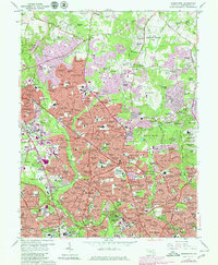
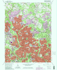
Editions of this 1965 Kensington Map
4 editions found
Other maps of this area

1890 · Mt. Vernon
USGS Topo · 1:125,000

1891 · Mt. Vernon
USGS Topo · 1:125,000

1892 · Laurel
USGS Topo · 1:62,500

1893 · Frederick
USGS Topo · 1:125,000

1894 · Laurel
USGS Topo · 1:62,500

1894 · Frederick
USGS Topo · 1:125,000

1894 · Mt. Vernon
USGS Topo · 1:125,000

1897 · Laurel
USGS Topo · 1:62,500

1897 · Mt. Vernon
USGS Topo · 1:125,000

1899 · Patuxent
USGS Topo · 1:125,000