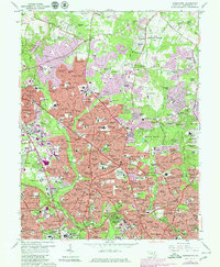
1965 Map of Kensington
USGS Topo · Published 1979About this map
Montgomery County suburban growth defines the mid-century landscape of this survey, anchored by the significant federal presence of the National Institutes of Health and the nearby Naval Medical Center. The transition from rural Maryland to a dense residential corridor is evident in the sprawling neighborhood names such as Silver Spring, Wheaton, and Rockville. The B & O RR corridor provides a historical spine through the region, connecting established communities like Kensington and Garrett Park. Institutional development is prominent, with numerous religious and educational sites including the Ursuline Academy Convent, Holy Cross Academy, and the Georgetown Preparatory Sch. Recreation and green space are preserved in the extensive Wheaton Regional Park and Rock Creek Park, which follow the natural drainage of Northwest Branch and Rock Creek.
Find a feature on this map
245 named features on this map. Tap any name to fly to it.
Don’t see what you’re looking for? This feature index may not catch every label — zoom into the map to look around manually.
Map Details
Editions of this 1965 Kensington Map
4 editions found
Other maps of this area

1890 · Mt. Vernon
USGS Topo · 1:125,000

1891 · Mt. Vernon
USGS Topo · 1:125,000

1892 · Laurel
USGS Topo · 1:62,500

1893 · Frederick
USGS Topo · 1:125,000

1894 · Laurel
USGS Topo · 1:62,500

1894 · Frederick
USGS Topo · 1:125,000

1894 · Mt. Vernon
USGS Topo · 1:125,000

1897 · Laurel
USGS Topo · 1:62,500

1897 · Mt. Vernon
USGS Topo · 1:125,000

1899 · Patuxent
USGS Topo · 1:125,000