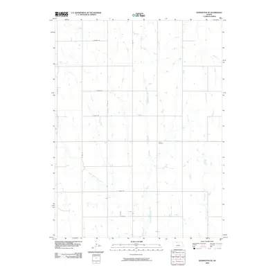
2009 Map of Kensington NE
USGS Topo · Published 2009About this map
Stone Cemetery stands as a central historical landmark within this agricultural landscape in Phillips County. The terrain is defined by the branching drainage systems of the Cedar Creek network, including West Middle Cedar Creek, East Middle Cedar Creek, and Middle Cedar Creek. These waterways dictate the subtle topography of the Kansas prairie, while a rigid grid of rural roads, such as E Buffalo Rd and E Hunter Rd, provides structure to the open countryside. This 2009 survey illustrates a deeply rooted rural settlement pattern where family history is tied to specific sections of land. The proximity of Rebecca Creek and Lost Creek to the established road network highlights how water and transportation have traditionally influenced local land use in this part of the state.
Find a feature on this map
16 named features on this map. Tap any name to fly to it.
Don’t see what you’re looking for? This feature index may not catch every label — zoom into the map to look around manually.
Map Details
Editions of this 2009 Kensington NE Map
This is the sole edition of this map. No revisions or reprints were ever made.
Other maps of this area

1893 · Smith Center
USGS Topo · 1:125,000

1893 · Phillipsburg
USGS Topo · 1:125,000

1896 · Holdrege
USGS Topo · 1:125,000

1897 · Red Cloud
USGS Topo · 1:125,000

1955 · Grand Island
USGS Topo · 1:250,000

1955 · Beloit
USGS Topo · 1:250,000

1957 · Grand Island
USGS Topo · 1:250,000

1958 · Grand Island
USGS Topo · 1:250,000

1959 · Beloit
USGS Topo · 1:250,000

1973 · Kensington
USGS Topo · 1:24,000