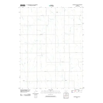
2009 Map of Kensington NW
USGS Topo · Published 2009About this map
Chapman Cemetery and Matteson Cemetery anchor this rural landscape in Phillips County, illustrating the enduring markers of local family history in a region defined by agricultural grid lines and seasonal drainages. The terrain is deeply etched by a complex network of north-flowing tributaries, including the branching Crow Creek and West Crow Creek, which feed into the larger Republican River basin just beyond the border.
Find a feature on this map
26 named features on this map. Tap any name to fly to it.
Don’t see what you’re looking for? This feature index may not catch every label — zoom into the map to look around manually.
Map Details
Editions of this 2009 Kensington NW Map
This is the sole edition of this map. No revisions or reprints were ever made.
Other maps of this area

1893 · Phillipsburg
USGS Topo · 1:125,000

1896 · Holdrege
USGS Topo · 1:125,000

1955 · Grand Island
USGS Topo · 1:250,000

1955 · Beloit
USGS Topo · 1:250,000

1957 · Grand Island
USGS Topo · 1:250,000

1958 · Grand Island
USGS Topo · 1:250,000

1959 · Beloit
USGS Topo · 1:250,000

1973 · Kensington
USGS Topo · 1:24,000

1973 · Kensington NE
USGS Topo · 1:24,000

1973 · Stuttgart NE
USGS Topo · 1:24,000