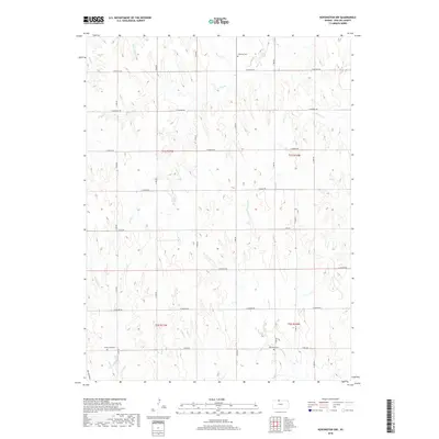
2018 Map of Kensington NW
USGS Topo · Published 2018About this map
The rolling drainage basins of Phillips County are meticulously detailed in this 2018 survey, centered on the complex network of creeks that feed the Republican River watershed. This agricultural landscape is anchored by rural burial sites including Chapman Cem in the north and Greenwood Cem and Matteson Cem toward the south. The terrain is defined by its watercourses, from the meandering Rebecca Cr and Crow Cr in the northeast to the parallel tracks of W Plum Cr and E Plum Cr in the southwest. A rigid grid of section-line roads, such as E Buffalo Rd and E Hunter Rd, divides the territory into traditional farm units, while natural features like Brushy Draw and Trap Cr demonstrate the persistent influence of the land's hydrology on its modern organization.
Find a feature on this map
32 named features on this map. Tap any name to fly to it.
Don’t see what you’re looking for? This feature index may not catch every label — zoom into the map to look around manually.
Map Details
Editions of this 2018 Kensington NW Map
This is the sole edition of this map. No revisions or reprints were ever made.
Other maps of this area

1893 · Phillipsburg
USGS Topo · 1:125,000

1896 · Holdrege
USGS Topo · 1:125,000

1955 · Grand Island
USGS Topo · 1:250,000

1955 · Beloit
USGS Topo · 1:250,000

1957 · Grand Island
USGS Topo · 1:250,000

1958 · Grand Island
USGS Topo · 1:250,000

1959 · Beloit
USGS Topo · 1:250,000

1973 · Kensington
USGS Topo · 1:24,000

1973 · Kensington NE
USGS Topo · 1:24,000

1973 · Stuttgart NE
USGS Topo · 1:24,000