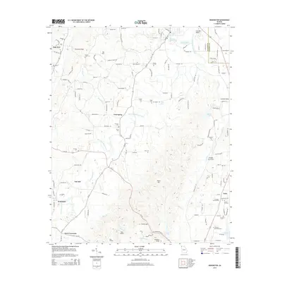
2014 Map of Kensington
USGS Topo · Published 2014About this map
Pigeon Mtn and the southern reach of Missionary Ridge dominate the landscape of Walker County, Georgia, in this 2014 survey. The topography is defined by the sharp elevations of Shinbone Ridge and the deep cut of Owl Hollow, creating a complex network of valleys where settlements like Davis Crossroads and Kensington developed. The abundance of water features, from the meandering West Chickamauga Creek to the smaller Phillips Spring, suggests a region defined by its hydrology and traditional land use patterns.
Find a feature on this map
55 named features on this map. Tap any name to fly to it.
Don’t see what you’re looking for? This feature index may not catch every label — zoom into the map to look around manually.
Map Details
Editions of this 2014 Kensington Map
This is the sole edition of this map. No revisions or reprints were ever made.
Other maps of this area

1886 · Ringgold
USGS Topo · 1:125,000

1892 · Ringgold
USGS Topo · 1:125,000

1935 · Catlett
USGS Topo · 1:24,000

1935 · East Ridge
USGS Topo · 1:24,000

1935 · Durham
USGS Topo · 1:24,000

1935 · Nickajack Gap
USGS Topo · 1:24,000

1936 · Kensington
USGS Topo · 1:24,000

1936 · Hooker
USGS Topo · 1:24,000

1936 · Estelle
USGS Topo · 1:24,000

1936 · Fort Oglethorpe
USGS Topo · 1:24,000