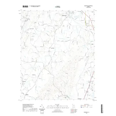
2020 Map of Kensington
USGS Topo · Published 2020About this map
Chickamauga and the northern reaches of Lafayette anchor this modern topographic view of the Walker County landscape. The area is defined by the prominent relief of Missionary Ridge and Pigeon Mtn, which frame a series of valleys including Long Cove and Straight Gut Valley. Water features are central to the local geography, particularly the Blue Hole and Crawfish Spring, which feed into West Chickamauga Creek.
Find a feature on this map
83 named features on this map. Tap any name to fly to it.
Don’t see what you’re looking for? This feature index may not catch every label — zoom into the map to look around manually.
Map Details
Editions of this 2020 Kensington Map
This is the sole edition of this map. No revisions or reprints were ever made.
Other maps of this area

1886 · Ringgold
USGS Topo · 1:125,000

1892 · Ringgold
USGS Topo · 1:125,000

1935 · Catlett
USGS Topo · 1:24,000

1935 · East Ridge
USGS Topo · 1:24,000

1935 · Durham
USGS Topo · 1:24,000

1935 · Nickajack Gap
USGS Topo · 1:24,000

1936 · Kensington
USGS Topo · 1:24,000

1936 · Hooker
USGS Topo · 1:24,000

1936 · Estelle
USGS Topo · 1:24,000

1936 · Fort Oglethorpe
USGS Topo · 1:24,000