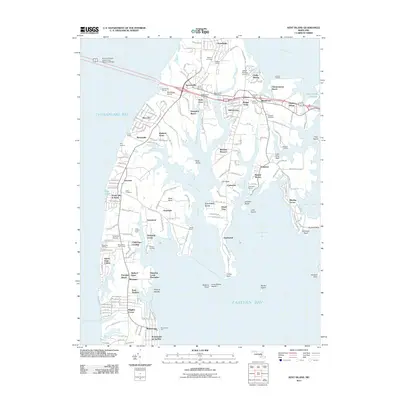
2011 Map of Kent Island
USGS Topo · Published 2011About this map
Kent Island's intricate shoreline and developed interior are meticulously detailed in this early 21st-century record. The area is anchored by the community of Stevensville, where historic landmarks like Christ Church and its accompanying Christ Church Cemetery sit alongside modern infrastructure. The William Preston Lane Junior Memorial Bridge connects the island to the mainland, while the maritime character is emphasized by numerous docks and marinas, such as the Bay Bridge Marina and Romancoke Pier.
Find a feature on this map
172 named features on this map. Tap any name to fly to it.
Don’t see what you’re looking for? This feature index may not catch every label — zoom into the map to look around manually.
Map Details
Editions of this 2011 Kent Island Map
This is the sole edition of this map. No revisions or reprints were ever made.
Other maps of this area

1892 · Annapolis
USGS Topo · 1:62,500

1893 · North Point
USGS Topo · 1:62,500

1898 · Choptank
USGS Topo · 1:125,000

1898 · Tolchester
USGS Topo · 1:125,000
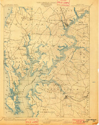
1901 · Chestertown
USGS Topo · 1:62,500

1903 · Tolchester
USGS Topo · 1:125,000
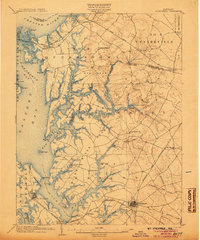
1904 · St. Michaels
USGS Topo · 1:62,500
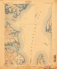
1904 · North Point
USGS Topo · 1:62,500
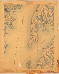
1904 · Annapolis
USGS Topo · 1:62,500
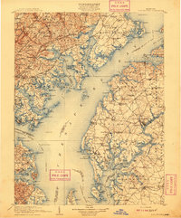
1908 · Tolchester
USGS Topo · 1:125,000