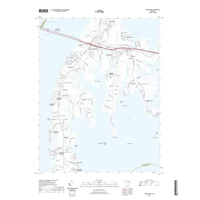
2019 Map of Kent Island
USGS Topo · Published 2019About this map
The William Preston Lane Junior Memorial Bridge anchors the northern reach of this 2019 survey, connecting the mainland to the thriving communities of Kent Island. The historic core of Stevensville and Chester serves as the island's primary population center, characterized by a dense network of residential developments like Cloverfields and Harborview. Genealogists will find a wealth of local history at the Christ Lutheran Church Cem, Union Wesley Methodist Church Cem, and the Ezion Methodist Episcopal Cem.
Find a feature on this map
74 named features on this map. Tap any name to fly to it.
Don’t see what you’re looking for? This feature index may not catch every label — zoom into the map to look around manually.
Map Details
Editions of this 2019 Kent Island Map
This is the sole edition of this map. No revisions or reprints were ever made.
Other maps of this area

1892 · Annapolis
USGS Topo · 1:62,500

1893 · North Point
USGS Topo · 1:62,500

1898 · Choptank
USGS Topo · 1:125,000

1898 · Tolchester
USGS Topo · 1:125,000

1901 · Chestertown
USGS Topo · 1:62,500

1903 · Tolchester
USGS Topo · 1:125,000

1904 · St. Michaels
USGS Topo · 1:62,500

1904 · North Point
USGS Topo · 1:62,500

1904 · Annapolis
USGS Topo · 1:62,500

1908 · Tolchester
USGS Topo · 1:125,000