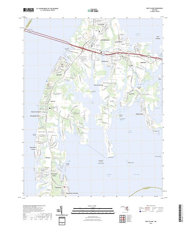
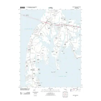
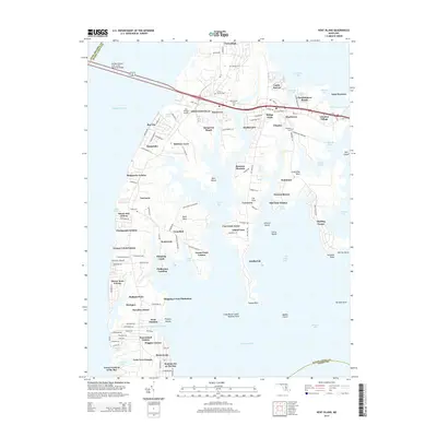
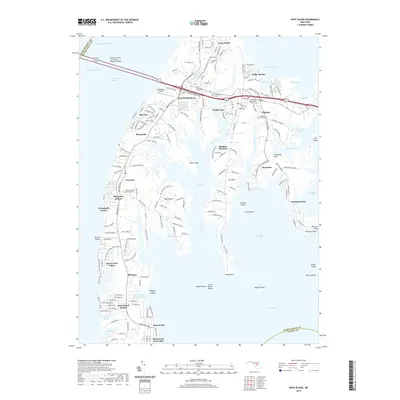
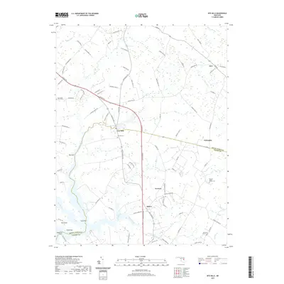
2023 Map of Kent Island
USGS Topo · Published 2023About this map
Stevensville and Chester anchor the northern landscape of this island interior, where the dual corridors of 50 301 bridge the bay and connect these historic communities to the Kent Island Narrows. The map reveals a dense network of residential developments and historic local hubs, including Matapeake, Dominion, and Romancoke, alongside essential community landmarks such as Christ Lutheran Church and the Union Wesley Methodist Church Cem.
Find a feature on this map
70 named features on this map. Tap any name to fly to it.
Don’t see what you’re looking for? This feature index may not catch every label — zoom into the map to look around manually.
Map Details
Editions of this 2023 Kent Island Map
This is the sole edition of this map. No revisions or reprints were ever made.
Historical Maps of Stevensville Through Time
28 maps found
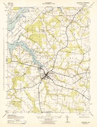
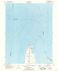
1942 Kent Island
Queen Anne's County, MD
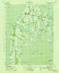
1942 Love Point
Queen Anne's County, MD
1942 Wye Mills
Queen Anne's County, MD
1943 Centerville
Queen Anne's County, MD
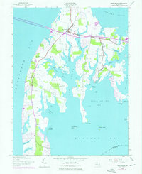
1943 Kent Island
Queen Anne's County, MD
1943 Wye Mills
Queen Anne's County, MD
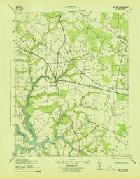
1944 Price
Queen Anne's County, MD
1953 Love Point
Queen Anne's County, MD
2011 Kent Island
Queen Anne's County, MD
2011 Love Point
Queen Anne's County, MD
2011 Price
Queen Anne's County, MD
2011 Wye Mills
Queen Anne's County, MD
2014 Kent Island
Queen Anne's County, MD
2014 Love Point
Queen Anne's County, MD
2014 Price
Queen Anne's County, MD
2014 Wye Mills
Queen Anne's County, MD
2016 Kent Island
Queen Anne's County, MD
2016 Wye Mills
Queen Anne's County, MD
2017 Love Point
Queen Anne's County, MD
2017 Price
Queen Anne's County, MD
2019 Kent Island
Queen Anne's County, MD
2019 Love Point
Queen Anne's County, MD
2019 Price
Queen Anne's County, MD
2019 Wye Mills
Queen Anne's County, MD
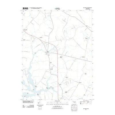
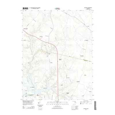
2023 Kent Island
Queen Anne's County, MD
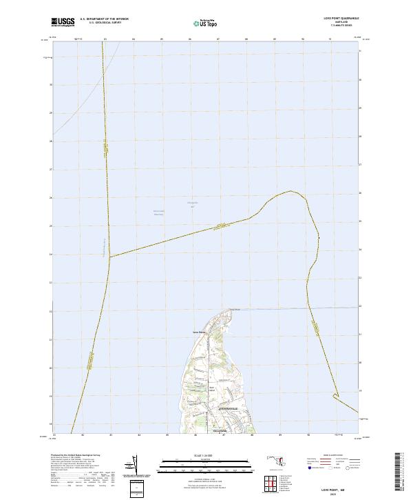
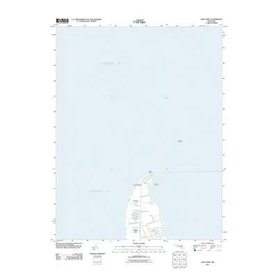
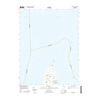
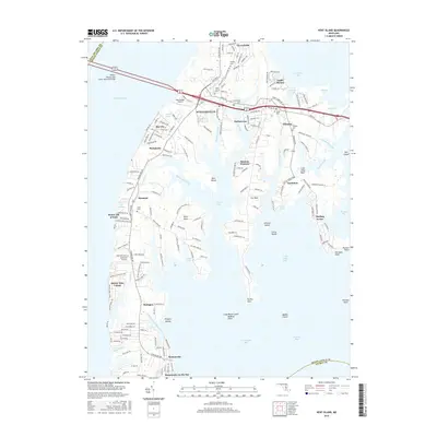
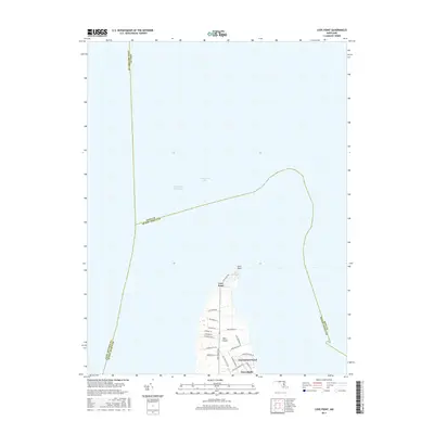
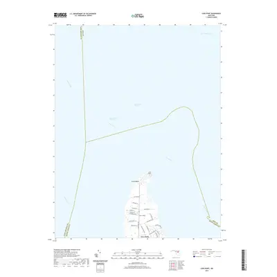
2023 Love Point
Queen Anne's County, MD
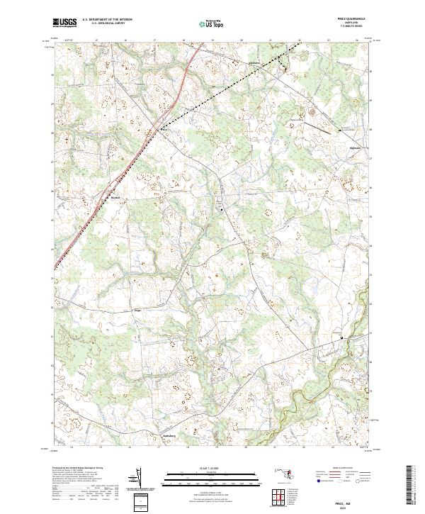
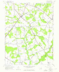
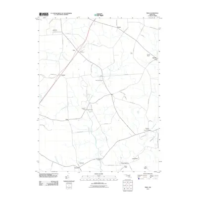
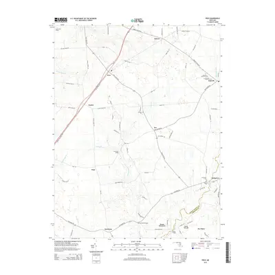
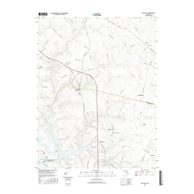
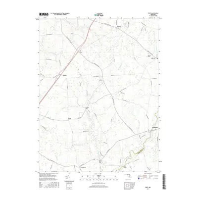
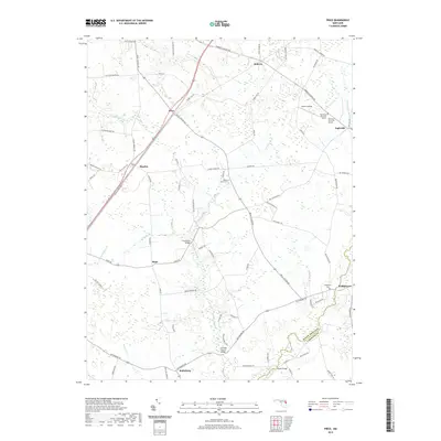
2023 Price
Queen Anne's County, MD
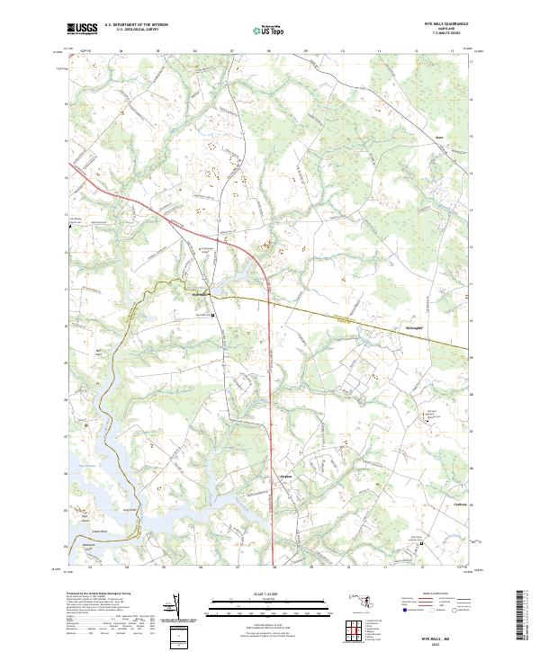
2023 Wye Mills
Queen Anne's County, MD