2022 Map of Kent
USGS Topo · Published 2022About this map
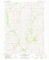
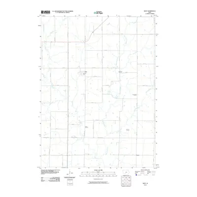
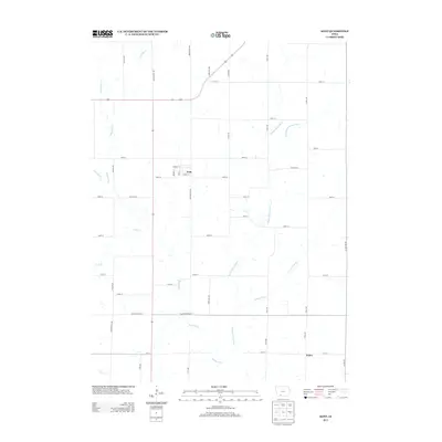
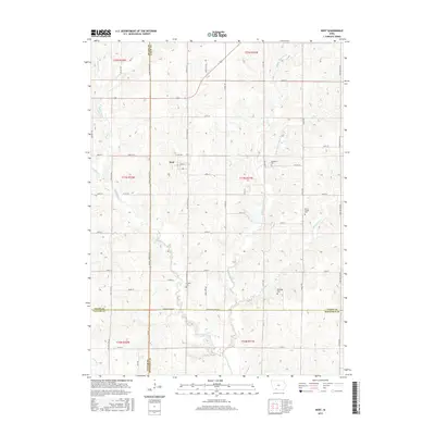
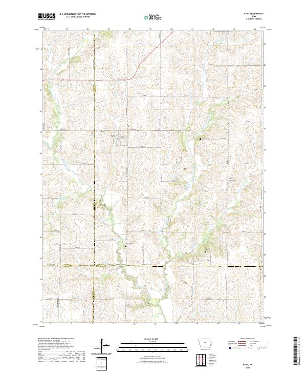
The town of Kent sits at the heart of this agricultural landscape in Union County, Iowa, where several branches of the Platte River converge. The terrain is defined by the winding paths of the Middle Platte River, W Platte River, and E Platte River, along with smaller tributaries like Saylings Cr and Todd Br. This topography has historically shaped the local road network and settlement patterns, creating a patchwork of farms connected by a grid of named routes such as High And Dry Rd and Beechwood Ave.
Find a feature on this map
58 named features on this map. Tap any name to fly to it.
Don’t see what you’re looking for? This feature index may not catch every label — zoom into the map to look around manually.
Map Details
Editions of this 2022 Kent Map
This is the sole edition of this map. No revisions or reprints were ever made.
Historical Maps of Kent Through Time
6 maps found