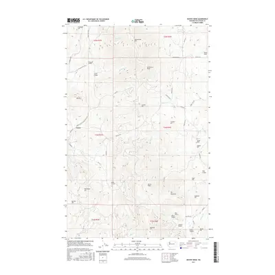
2017 Map of Kentry Ridge
USGS Topo · Published 2017About this map
Arzina sits in the western foothills of the Huckleberry Range, a landscape defined by sharp elevation changes and deeply cut drainages in Stevens County. The high ground of Kentry Ridge and Monumental Mtn dominates the central and northern sections, while the drainage of Quillisascut Cr cuts through Pleasant Valley toward the west.
Find a feature on this map
58 named features on this map. Tap any name to fly to it.
Don’t see what you’re looking for? This feature index may not catch every label — zoom into the map to look around manually.
Map Details
Editions of this 2017 Kentry Ridge Map
This is the sole edition of this map. No revisions or reprints were ever made.
Other maps of this area

1927 · Chewelah
USGS Topo · 1:125,000

1929 · Colville
USGS Topo · 1:125,000

1930 · Chewelah
USGS Topo · 1:125,000

1933 · Colville
USGS Topo · 1:125,000

1936 · Marcus
USGS Topo · 1:96,000

1942 · Marcus
USGS Topo · 1:125,000

1948 · Kettle Falls
USGS Topo · 1:62,500

1950 · Inchelium
USGS Topo · 1:62,500

1951 · Kettle Falls
USGS Topo · 1:62,500

1952 · Colville
USGS Topo · 1:24,000