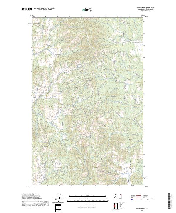
2023 Map of Kentry Ridge
USGS Topo · Published 2023About this map
The Huckleberry Range dominates the terrain of this Stevens County survey, creating a complex geography of high summits and deep drainages. In the western reaches, the settlement of Arzina sits along Pleasant Valley Rd, serving as a primary point of human activity amidst the steep elevations of Day Mtn and Butcher Mtn. The landscape is defined by its verticality, with named peaks like Granite Mtn and Monumental Mtn presiding over a network of seasonal and permanent watercourses including Cheweka Creek and Stranger Creek.
Find a feature on this map
58 named features on this map. Tap any name to fly to it.
Don’t see what you’re looking for? This feature index may not catch every label — zoom into the map to look around manually.
Map Details
Editions of this 2023 Kentry Ridge Map
This is the sole edition of this map. No revisions or reprints were ever made.
Other maps of this area

1927 · Chewelah
USGS Topo · 1:125,000

1929 · Colville
USGS Topo · 1:125,000

1930 · Chewelah
USGS Topo · 1:125,000

1933 · Colville
USGS Topo · 1:125,000

1936 · Marcus
USGS Topo · 1:96,000

1942 · Marcus
USGS Topo · 1:125,000

1948 · Kettle Falls
USGS Topo · 1:62,500

1950 · Inchelium
USGS Topo · 1:62,500

1951 · Kettle Falls
USGS Topo · 1:62,500

1952 · Colville
USGS Topo · 1:24,000