
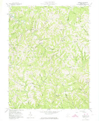
1957 Map of Kentuck
USGS Topo · Published 1959About this map
Statts Mills and Sinaville anchor the northwestern portion of this mid-century survey, which reveals a landscape deeply incised by the drainage basins of Grasslick Creek and Bear Fork. The terrain is characterized by a dense network of ridges such as Richards Ridge and Price Ridge, where settlement patterns are dictated by the narrow valley floors and ridgelines. This rural area at the Jackson and Roane County line is remarkably dense with community infrastructure, showing a high concentration of country schools and family burial grounds. Researchers will find numerous localized landmarks, from Falling Water Ch to the Skeen Cem, illustrating the decentralized social life of these Appalachian communities. The map also records the early footprint of energy infrastructure with a prominent Pipeline cutting across the ridges and numerous oil wells scattered through the hollows near Fletcher and Kentuck.
Find a feature on this map
97 named features on this map. Tap any name to fly to it.
Don’t see what you’re looking for? This feature index may not catch every label — zoom into the map to look around manually.
Map Details
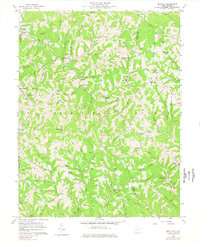
Editions of this 1957 Kentuck Map
3 editions found
Other maps of this area

1906 · Kenna
USGS Topo · 1:62,500

1906 · Walton
USGS Topo · 1:62,500

1907 · Kenna
USGS Topo · 1:62,500

1907 · Spencer
USGS Topo · 1:62,500

1907 · Walton
USGS Topo · 1:62,500

1907 · Ripley
USGS Topo · 1:62,500

1926 · Ripley
USGS Topo · 1:62,500

1928 · Spencer
USGS Topo · 1:62,500

1928 · Ripley
USGS Topo · 1:62,500

1954 · Charleston
USGS Topo · 1:250,000