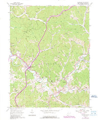
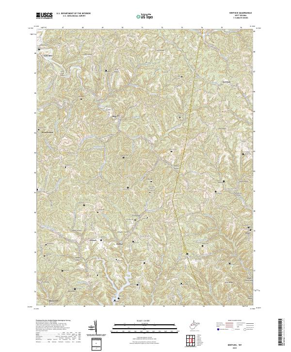
1957 Map of Kentuck
USGS Topo · Published 1978About this map
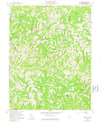
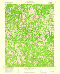
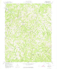
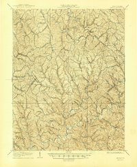
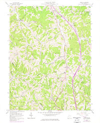
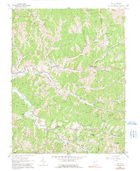
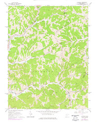
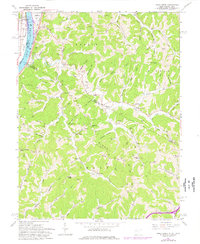
The borderlands of Jackson and Roane Counties appear as a network of deep-cut hollows and ridges in the mid-1950s, centered on the community of Kentuck. This rural landscape is defined by its social infrastructure of small country schoolhouses and family cemeteries. Educational sites such as Lone Star Sch, Enterprise Sch, and Sand Hill Sch are spaced frequently along the high ground, while spiritual life is anchored by locations like Sinaiville Ch and Falling Water Ch. The drainage pattern is intricate, with Laurel Fork and Jones Fork feeding the larger creek systems that shaped the settlement of this area. Genealogists will find a wealth of family-named landmarks, including the Rhodes Cem, Parsons Cem, and Siders Cem, reflecting the generations of residents who established these small, ridge-top farms.
Find a feature on this map
109 named features on this map. Tap any name to fly to it.
Don’t see what you’re looking for? This feature index may not catch every label — zoom into the map to look around manually.
Map Details
Editions of this 1957 Kentuck Map
3 editions found
Historical Maps of Belgrove Through Time
15 maps found

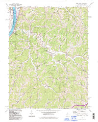
1906 Kenna
Jackson County, WV
1907 Kenna
Jackson County, WV
1957 Kenna
Jackson County, WV
1957 Kentuck
Jackson County, WV
1960 Gay
Jackson County, WV
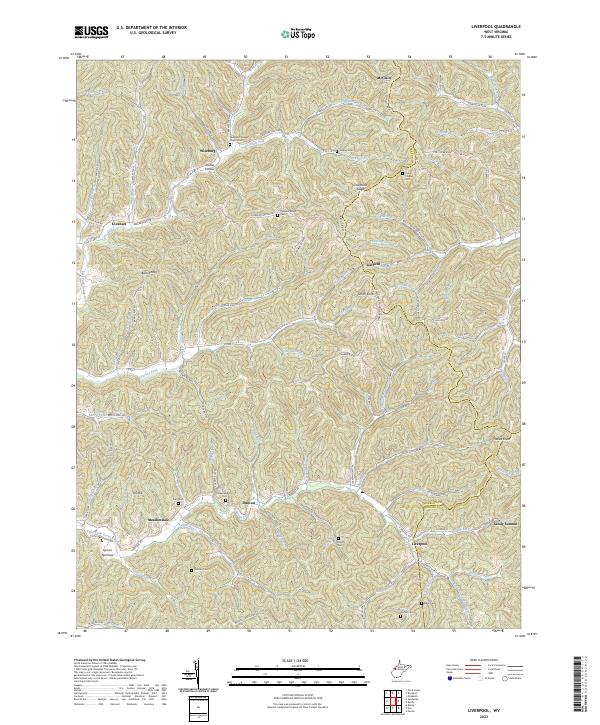
1960 Liverpool
Jackson County, WV
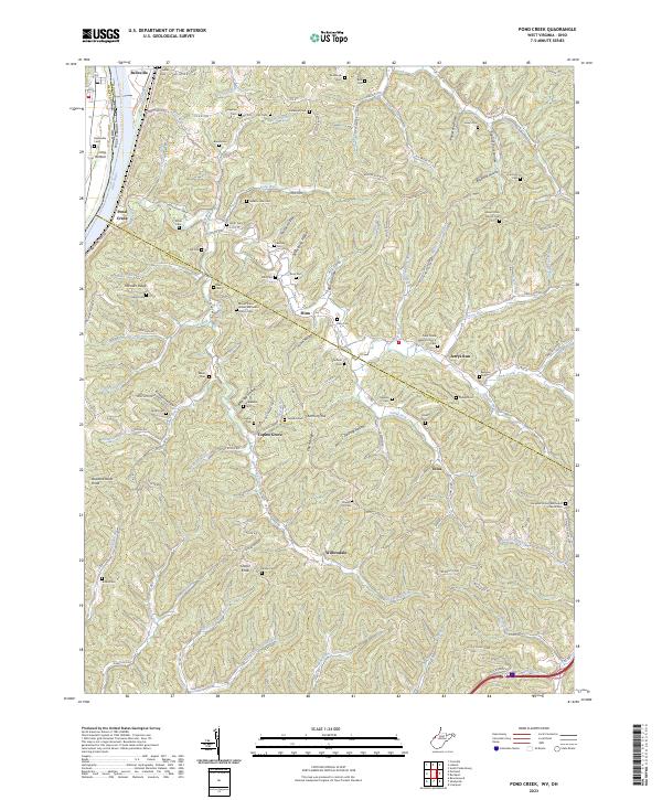
1960 Pond Creek
Jackson County, WV
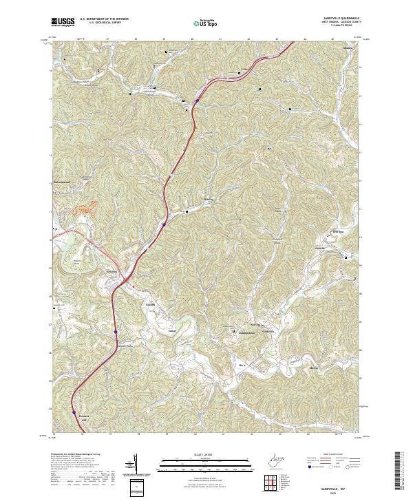
1960 Sandyville
Jackson County, WV
1994 Pond Creek
Jackson County, WV
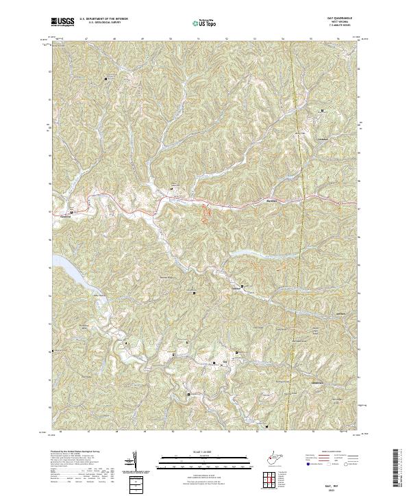
2023 Gay
Jackson County, WV
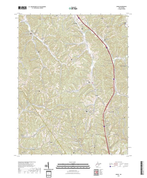
2023 Kenna
Jackson County, WV
2023 Kentuck
Jackson County, WV
2023 Liverpool
Jackson County, WV
2023 Pond Creek
Jackson County, WV
2023 Sandyville
Jackson County, WV