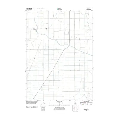
2010 Map of Kenyon
USGS Topo · Published 2010About this map
Beetville and Pella anchor this rural landscape in southern Idaho, where a sophisticated network of irrigation channels transformed the arid terrain into productive farmland. The intricate grid of laterals and drains, including the H Canal, J Canal, and Morgan Drain, illustrates the critical role of water management in the region's agricultural development. Settlement patterns follow this grid, with small communities like North Kenyon and Kenyon positioned along the roadway and water routes.
Find a feature on this map
50 named features on this map. Tap any name to fly to it.
Don’t see what you’re looking for? This feature index may not catch every label — zoom into the map to look around manually.
Map Details
Editions of this 2010 Kenyon Map
This is the sole edition of this map. No revisions or reprints were ever made.
Other maps of this area

1954 · Pocatello
USGS Topo · 1:250,000

1958 · Pocatello
USGS Topo · 1:250,000

1964 · Burley SW
USGS Topo · 1:24,000

1964 · View
USGS Topo · 1:24,000

1964 · Kenyon
USGS Topo · 1:24,000

1964 · Burley Butte
USGS Topo · 1:24,000

1964 · Rupert SW
USGS Topo · 1:24,000

1964 · Burley SE
USGS Topo · 1:24,000

1968 · Marion SE
USGS Topo · 1:24,000

1968 · Mount Harrison
USGS Topo · 1:24,000