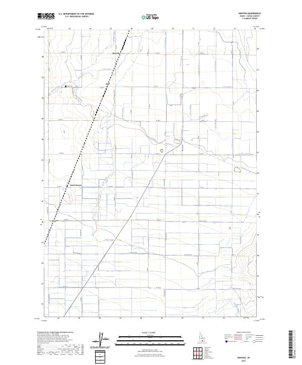
2023 Map of Kenyon
USGS Topo · Published 2023About this map
Goose Creek and a dense network of irrigation laterals define the agricultural landscape of Cassia County, Idaho. The settlement pattern here is anchored by small, rural communities such as Beetville and Pella, which are connected by a precise grid of roads like Pole Line Rd and Baseline Rd. This modern survey illustrates the intensive water management required for high-desert farming, featuring an intricate system of channels including the J Canal, H Canal, and numerous numbered laterals like the J 27 Lateral. Genealogy researchers will find the Pella Cem situated near the headwaters of the Morgan Drain. The map also captures the distinct areas of North Kenyon and Kenyon, providing a clear view of the homestead divisions and water-rights infrastructure that continue to shape this corner of the Snake River Plain.
Find a feature on this map
30 named features on this map. Tap any name to fly to it.
Don’t see what you’re looking for? This feature index may not catch every label — zoom into the map to look around manually.
Map Details
Editions of this 2023 Kenyon Map
This is the sole edition of this map. No revisions or reprints were ever made.
Other maps of this area

1954 · Pocatello
USGS Topo · 1:250,000

1958 · Pocatello
USGS Topo · 1:250,000

1964 · Burley SW
USGS Topo · 1:24,000

1964 · View
USGS Topo · 1:24,000

1964 · Kenyon
USGS Topo · 1:24,000

1964 · Burley Butte
USGS Topo · 1:24,000

1964 · Rupert SW
USGS Topo · 1:24,000

1964 · Burley SE
USGS Topo · 1:24,000

1968 · Marion SE
USGS Topo · 1:24,000

1968 · Mount Harrison
USGS Topo · 1:24,000