1964 Map of Kenyon
USGS Topo · Published 1983About this map
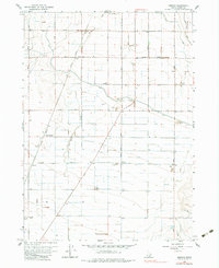
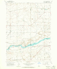
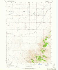
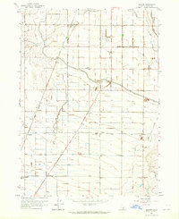
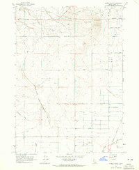
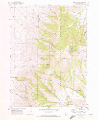
Goose Creek defines the low-lying basin of this southern Idaho landscape, where the waters of the H Canal and J Canal signal the critical importance of irrigation to the high desert economy. This mid-1960s environment is characterized by a precise grid of agricultural infrastructure, punctuated by small settlements like Beetville and Pella, which were vital hubs for the local sugar beet industry and farming families. The Union Pacific railroad corridor cuts diagonally through the terrain, linking these rural outposts and providing a transit for the region's agricultural output.
Find a feature on this map
26 named features on this map. Tap any name to fly to it.
Don’t see what you’re looking for? This feature index may not catch every label — zoom into the map to look around manually.
Map Details
Editions of this 1964 Kenyon Map
2 editions found
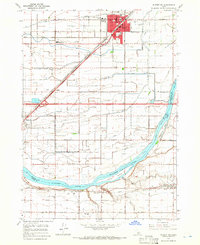
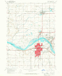
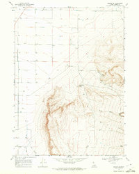
Other maps of this area

1954 · Pocatello
USGS Topo · 1:250,000

1958 · Pocatello
USGS Topo · 1:250,000
1964 · Burley SW
USGS Topo · 1:24,000
1964 · View
USGS Topo · 1:24,000
1964 · Kenyon
USGS Topo · 1:24,000
1964 · Burley Butte
USGS Topo · 1:24,000
1964 · Rupert SW
USGS Topo · 1:24,000
1964 · Burley SE
USGS Topo · 1:24,000
1968 · Marion SE
USGS Topo · 1:24,000
1968 · Mount Harrison
USGS Topo · 1:24,000