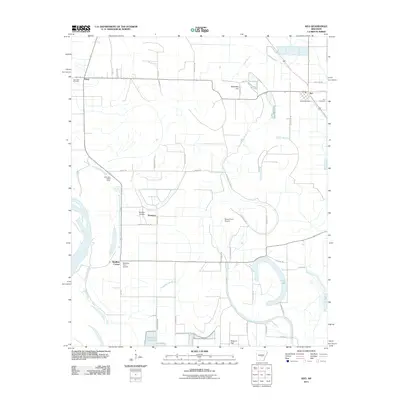
2011 Map of Keo
USGS Topo · Published 2011About this map
Keo and the surrounding Lonoke County lowlands are defined by a complex network of bayous and drainage systems that support the region's agricultural character. This area, just north of the Arkansas River, features several small airfields tailored to rural operations, including the Bredlow Airfield and Moore Farm Airport. The landscape is etched with old watercourses like Wabbaseka Bayou and North Bayou, which wind through the flat terrain toward Clear Lake.
Find a feature on this map
47 named features on this map. Tap any name to fly to it.
Don’t see what you’re looking for? This feature index may not catch every label — zoom into the map to look around manually.
Map Details
Editions of this 2011 Keo Map
This is the sole edition of this map. No revisions or reprints were ever made.
Other maps of this area

1891 · Little Rock
USGS Topo · 1:125,000

1893 · Little Rock
USGS Topo · 1:125,000

1932 · Pastoria
USGS Topo · 1:62,500

1935 · Sweet Home
USGS Topo · 1:24,000

1935 · Altheimer
USGS Topo · 1:62,500

1935 · Pastoria
USGS Topo · 1:62,500

1937 · England
USGS Topo · 1:48,000

1939 · Keo
USGS Topo · 1:31,680

1940 · Woodson
USGS Topo · 1:31,680

1941 · Keo
USGS Topo · 1:31,680