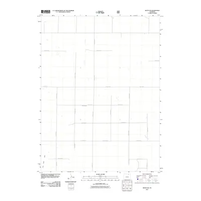
2011 Map of Keota SE
USGS Topo · Published 2011About this map
Horst Cemetery stands as a primary landmark in this rural expanse of Weld County, located near the intersection of County Rd 78 and County Rd 105. The landscape is defined by the Jeffersonian grid system, where a network of gravel and dirt routes such as County Rd 84 and County Rd 111 partition the high plains. This 2011 survey by the U.S. Geological Survey captures the subtle drainage patterns of the region, including the seasonal flow of Wildcat Creek and the southern reach of Coal Bank Draw. The sparsity of the map reflects the open ranching and agricultural character of northeastern Colorado, where long-established family names often persist through rural landmarks and quiet burial grounds like those found at Horst Cemetery.
Find a feature on this map
23 named features on this map. Tap any name to fly to it.
Don’t see what you’re looking for? This feature index may not catch every label — zoom into the map to look around manually.
Map Details
Editions of this 2011 Keota SE Map
This is the sole edition of this map. No revisions or reprints were ever made.
Other maps of this area

1950 · Greasewood Lake
USGS Topo · 1:24,000

1951 · Sunken Lake
USGS Topo · 1:24,000

1951 · Judson Hills
USGS Topo · 1:24,000

1954 · Sterling
USGS Topo · 1:250,000

1954 · Greeley
USGS Topo · 1:250,000

1957 · Greeley
USGS Topo · 1:250,000

1958 · Greeley
USGS Topo · 1:250,000

1958 · Sterling
USGS Topo · 1:250,000

1961 · Greeley
USGS Topo · 1:250,000

1964 · Greeley
USGS Topo · 1:250,000