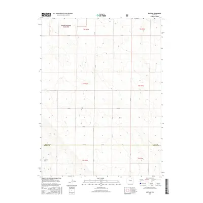
2016 Map of Keota SE
USGS Topo · Published 2016About this map
The Pawnee National Grassland dominates the northern landscape of this High Plains quadrangle, where the rolling shortgrass prairie meets the jurisdictional boundary of Weld Co and Morgan Co. This 2016 survey documents a sparsely settled region defined largely by its section-line road network, including routes like Co RD 86 and Co RD 105. A significant genealogical marker is found at Horst Cem, a lonely burial site situated just north of Co RD 78. The terrain is etched by ephemeral drainages such as Coal Bank Draw and the wandering path of Wildcat Cr in the southeast corner. These features illustrate the persistent rural character of the eastern Colorado plains, where land use remains primarily agricultural and conservation-focused within the national grassland boundaries.
Find a feature on this map
27 named features on this map. Tap any name to fly to it.
Don’t see what you’re looking for? This feature index may not catch every label — zoom into the map to look around manually.
Map Details
Editions of this 2016 Keota SE Map
This is the sole edition of this map. No revisions or reprints were ever made.
Other maps of this area

1950 · Greasewood Lake
USGS Topo · 1:24,000

1951 · Sunken Lake
USGS Topo · 1:24,000

1951 · Judson Hills
USGS Topo · 1:24,000

1954 · Sterling
USGS Topo · 1:250,000

1954 · Greeley
USGS Topo · 1:250,000

1957 · Greeley
USGS Topo · 1:250,000

1958 · Greeley
USGS Topo · 1:250,000

1958 · Sterling
USGS Topo · 1:250,000

1961 · Greeley
USGS Topo · 1:250,000

1964 · Greeley
USGS Topo · 1:250,000