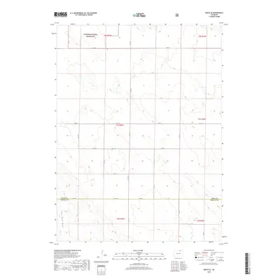
2019 Map of Keota SE
USGS Topo · Published 2019About this map
Pawnee National Grassland dominates the northern landscape of this High Plains quadrangle, where the expansive prairie is segmented by a strictly linear grid of county roads. The terrain is characterized by the subtle drainage of Wildcat Cr in the southeast and Coal Bank Draw to the west, reflecting the arid environment of the eastern Colorado plains. This survey provides a modern layout of the rural infrastructure in Weld and Morgan Counties, illustrating the enduring ranching and agricultural patterns of the region. A significant historical marker for genealogists is the Horst Cem, located near the intersection of Co RD 78 and Co RD 103, serving as a quiet witness to the early homesteading families who settled this open range.
Find a feature on this map
27 named features on this map. Tap any name to fly to it.
Don’t see what you’re looking for? This feature index may not catch every label — zoom into the map to look around manually.
Map Details
Editions of this 2019 Keota SE Map
This is the sole edition of this map. No revisions or reprints were ever made.
Other maps of this area

1950 · Greasewood Lake
USGS Topo · 1:24,000

1951 · Sunken Lake
USGS Topo · 1:24,000

1951 · Judson Hills
USGS Topo · 1:24,000

1954 · Sterling
USGS Topo · 1:250,000

1954 · Greeley
USGS Topo · 1:250,000

1957 · Greeley
USGS Topo · 1:250,000

1958 · Greeley
USGS Topo · 1:250,000

1958 · Sterling
USGS Topo · 1:250,000

1961 · Greeley
USGS Topo · 1:250,000

1964 · Greeley
USGS Topo · 1:250,000