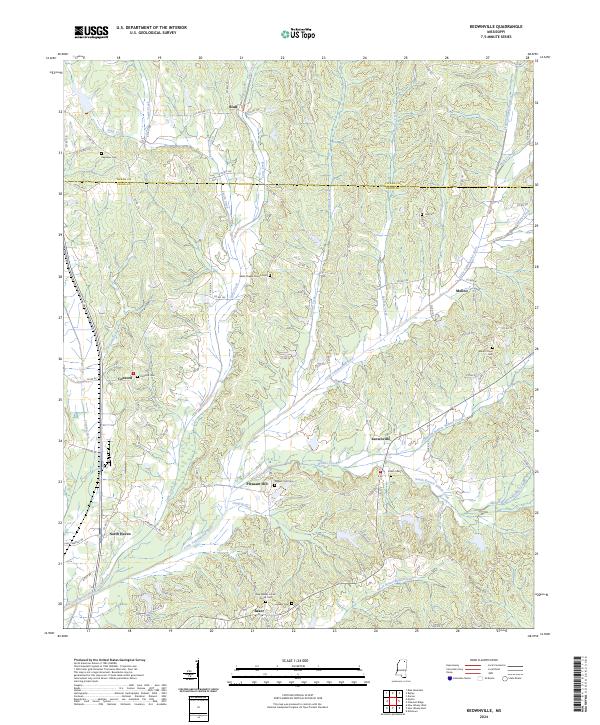
2024 Map of Keownville
USGS Topo · Published 2024About this map
Keownville and the surrounding rural communities of Union and Tippah counties are defined by a dense network of creek valleys and small family cemeteries. The landscape is dominated by the Little Tallahatchie River and its numerous tributaries, including Wilhite Creek and Cane Creek, which carve through the terrain. Small settlements like Pleasant Hill, Concord, and Molino serve as local anchors, often centered around long-standing landmarks such as Concord Cem or the Wells Chapel Church Cem. In the southern portion of the map, the community of Baker sits near the New Albany Locust Grove Cem, illustrating the deep-rooted local history tied to these burial grounds. The transition from the northern Tippah County line down into the heart of Union County reveals a pattern of ridge-top roads and bottomland farming that has persisted for generations.
Find a feature on this map
93 named features on this map. Tap any name to fly to it.
Don’t see what you’re looking for? This feature index may not catch every label — zoom into the map to look around manually.
Map Details
Editions of this 2024 Keownville Map
This is the sole edition of this map. No revisions or reprints were ever made.
Historical Maps of Keownville Through Time
13 maps found
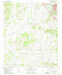
1980 Ellistown
Union County, MS
1980 Etta
Union County, MS
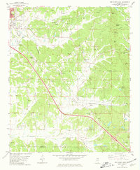
1980 New Albany East
Union County, MS
1980 New Albany West
Union County, MS
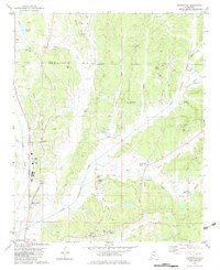
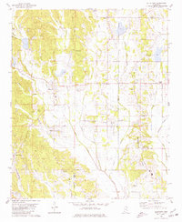
1982 Keownville
Union County, MS

1982 Pleasant Ridge
Union County, MS
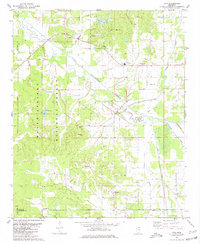
2000 Etta
Union County, MS
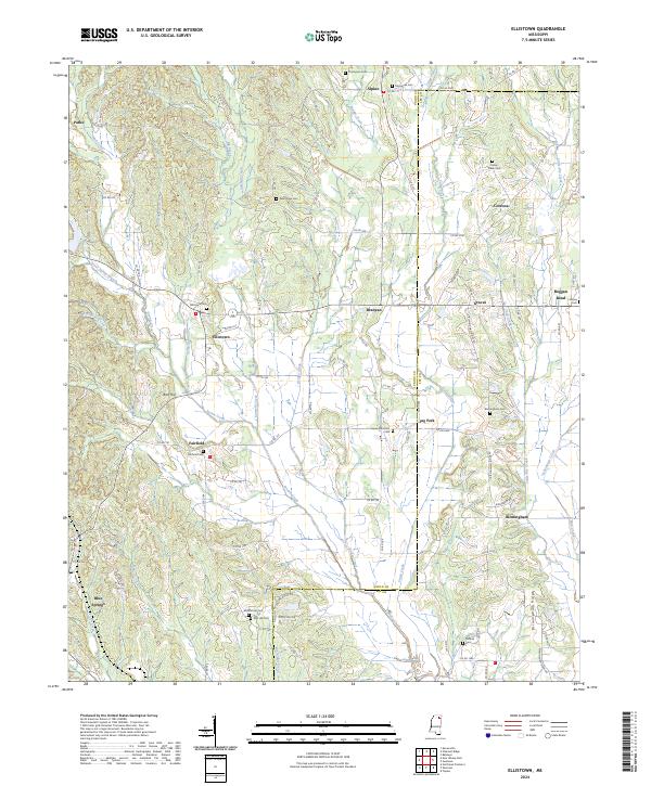
2024 Ellistown
Union County, MS
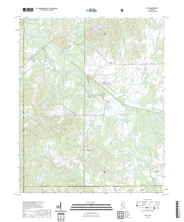
2024 Etta
Union County, MS
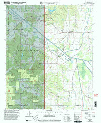
2024 Keownville
Union County, MS
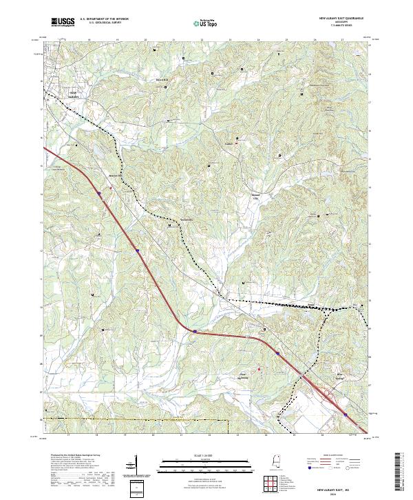
2024 New Albany East
Union County, MS
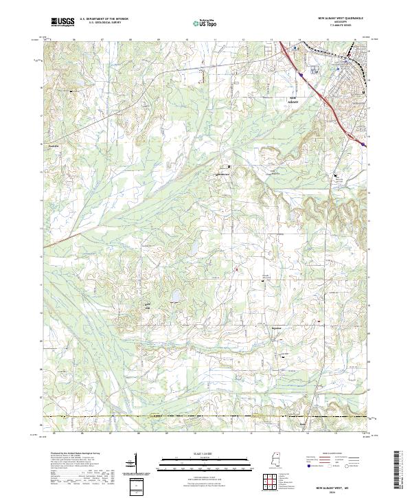
2024 New Albany West
Union County, MS
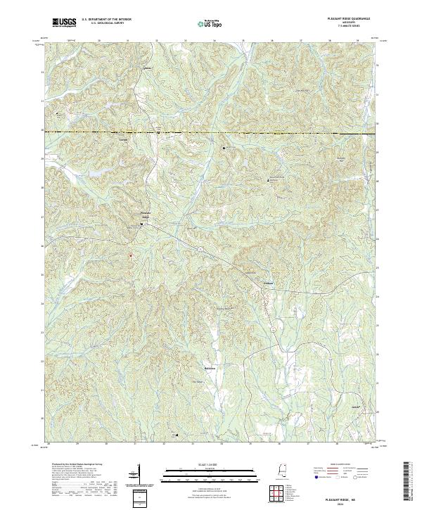
2024 Pleasant Ridge
Union County, MS