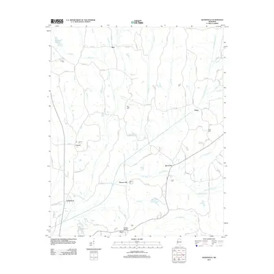
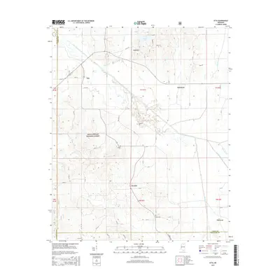
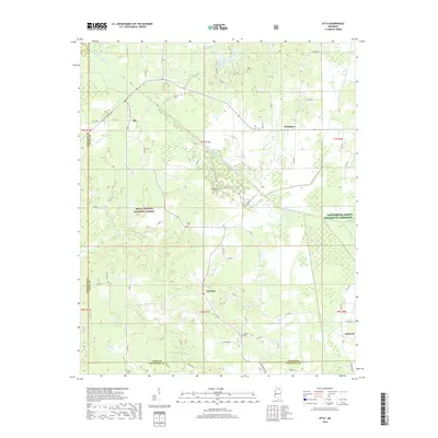
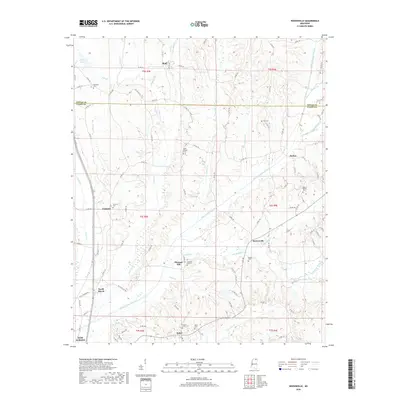
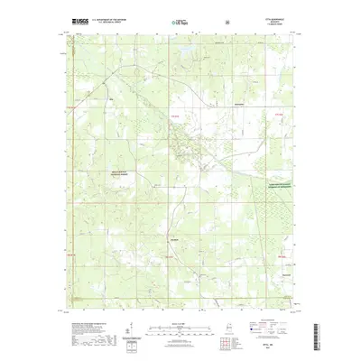
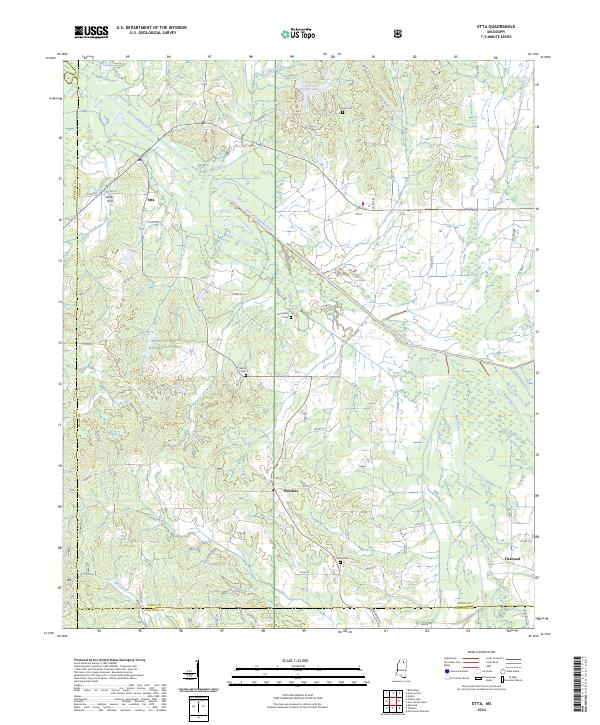
1980 Map of Etta
USGS Topo · Published 1981About this map
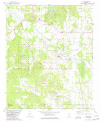
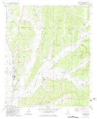
The Little Tallahatchie River meanders through the center of this landscape, its floodplain punctuated by numerous fish hatcheries and wetlands. To the west, the dense timber of the Holly Springs National Forest dominates the terrain, where small settlements like Etta and Pinedale sit along the county line. The map captures a rural Mississippi community defined by its proximity to water and woods, showing a network of country churches and burial grounds such as Salem Ch and Pisgah Cem.
Find a feature on this map
33 named features on this map. Tap any name to fly to it.
Don’t see what you’re looking for? This feature index may not catch every label — zoom into the map to look around manually.
Map Details
Editions of this 1980 Etta Map
This is the sole edition of this map. No revisions or reprints were ever made.
Historical Maps of Etta Through Time
37 maps found
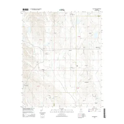
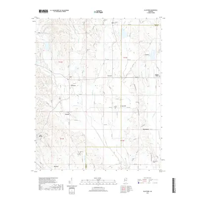
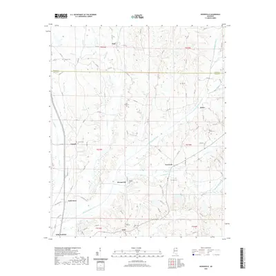
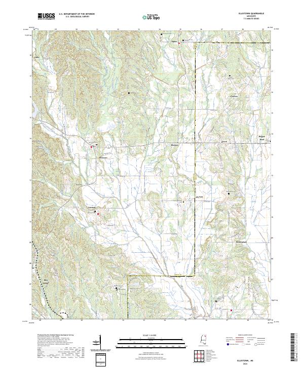
1980 Ellistown
Union County, MS
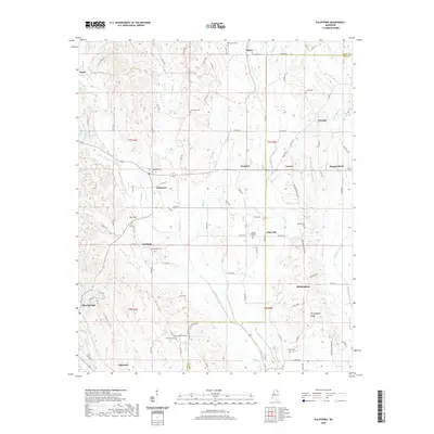
1980 Etta
Union County, MS
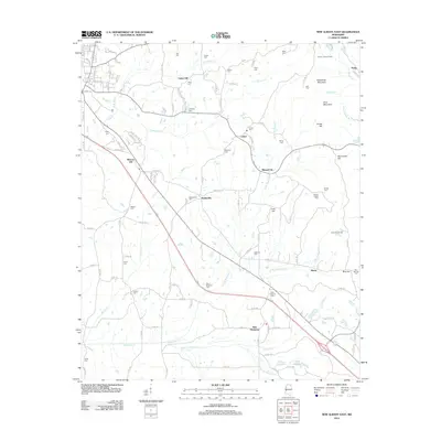
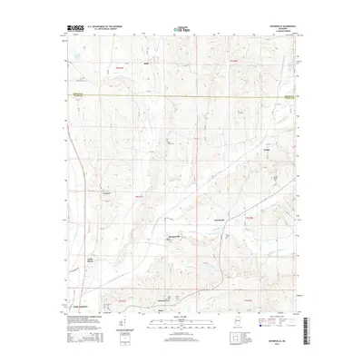
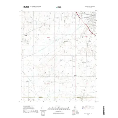
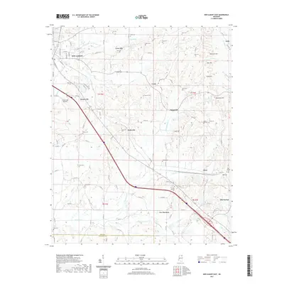
1980 New Albany East
Union County, MS
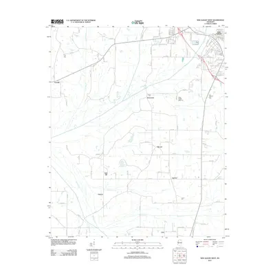
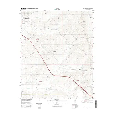
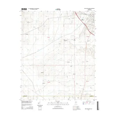
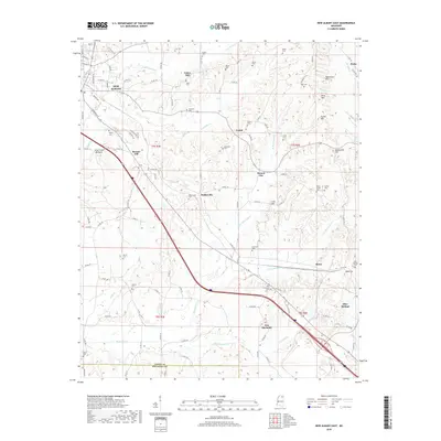
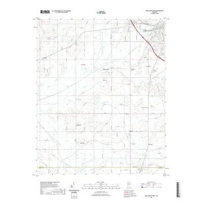
1980 New Albany West
Union County, MS
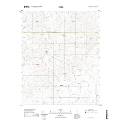
1982 Keownville
Union County, MS

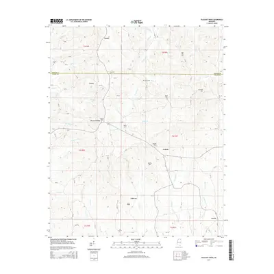
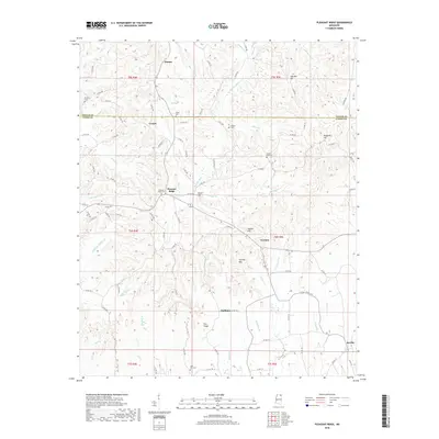
1982 Pleasant Ridge
Union County, MS
2000 Etta
Union County, MS
2012 Ellistown
Union County, MS
2012 Etta
Union County, MS
2012 Keownville
Union County, MS
2012 New Albany East
Union County, MS
2012 New Albany West
Union County, MS
2012 Pleasant Ridge
Union County, MS
2015 Ellistown
Union County, MS
2015 Etta
Union County, MS
2015 Keownville
Union County, MS
2015 New Albany East
Union County, MS
2015 New Albany West
Union County, MS
2015 Pleasant Ridge
Union County, MS
2018 Ellistown
Union County, MS
2018 Etta
Union County, MS
2018 Keownville
Union County, MS
2018 New Albany East
Union County, MS
2018 New Albany West
Union County, MS
2018 Pleasant Ridge
Union County, MS
2020 Ellistown
Union County, MS
2020 Keownville
Union County, MS
2020 Pleasant Ridge
Union County, MS
2021 Etta
Union County, MS
2021 New Albany East
Union County, MS
2021 New Albany West
Union County, MS
2024 Ellistown
Union County, MS
2024 Etta
Union County, MS
2024 Keownville
Union County, MS
2024 New Albany East
Union County, MS
2024 New Albany West
Union County, MS
2024 Pleasant Ridge
Union County, MS