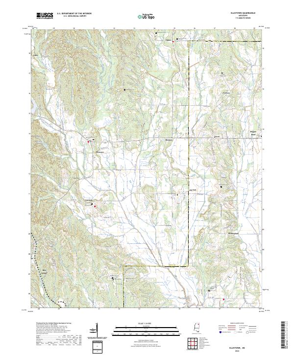
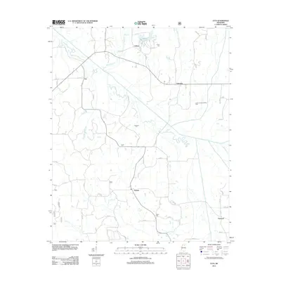
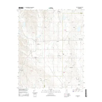
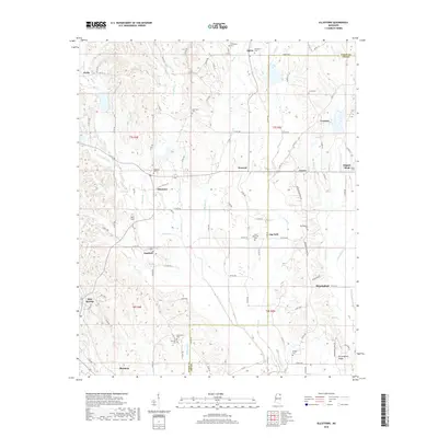
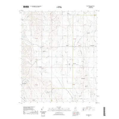
2024 Map of Ellistown
USGS Topo · Published 2024About this map
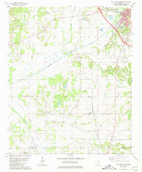
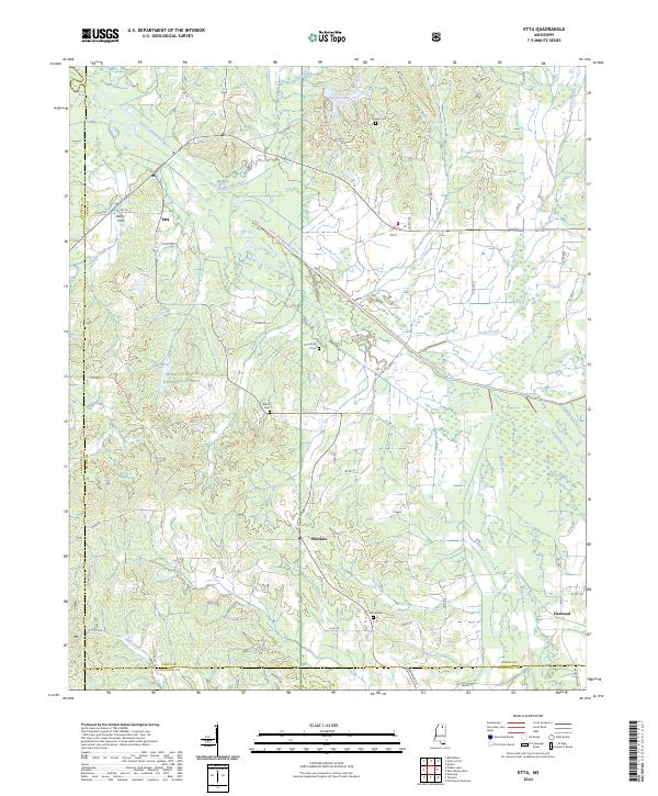
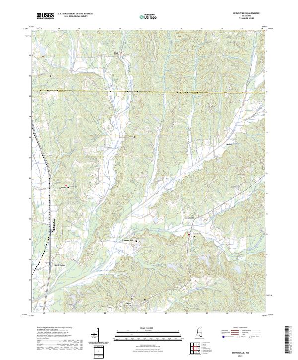
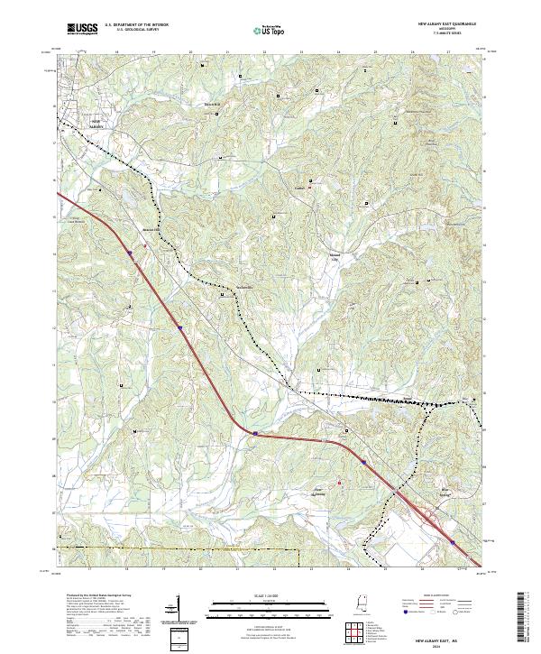
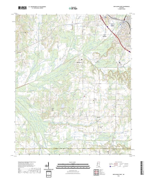
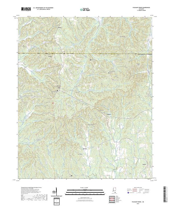
Ellistown and its surrounding rural hamlets sit along the transition between Union and Lee counties in northern Mississippi. This landscape is defined by its deep genealogical roots, anchored by a high density of country burial grounds such as Birmingham Cem, Fairfield Cem, and McWhorter Cem. The area is drained by a complex network of waterways, including Brown Creek, Town Creek, and Tishomingo Creek, which once influenced early settlement patterns in small communities like Parks, Alpine, and Graves. The prominent Birmingham Ridge and Bart Hill provide significant topographic relief above the creek valleys. Many of these family-named landmarks and minor settlements like Jug Fork reflect the enduring 19th-century agrarian layout of the region, preserved here in modern topographical detail.
Find a feature on this map
103 named features on this map. Tap any name to fly to it.
Don’t see what you’re looking for? This feature index may not catch every label — zoom into the map to look around manually.
Map Details
Editions of this 2024 Ellistown Map
This is the sole edition of this map. No revisions or reprints were ever made.
Historical Maps of Blue Springs Through Time
37 maps found
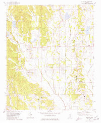
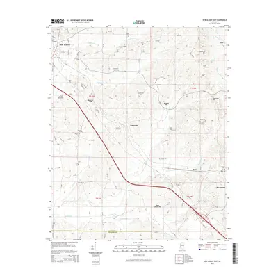
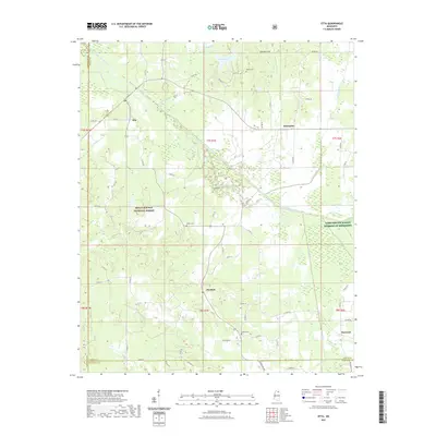
1980 Ellistown
Union County, MS
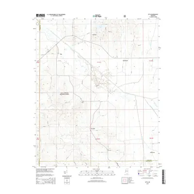
1980 Etta
Union County, MS
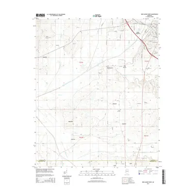
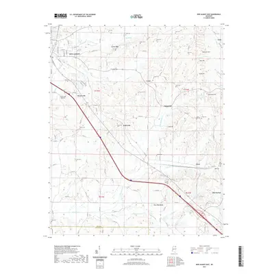
1980 New Albany East
Union County, MS
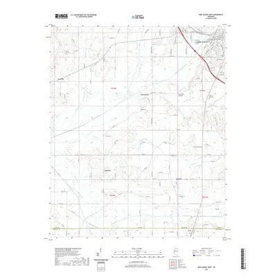
1980 New Albany West
Union County, MS
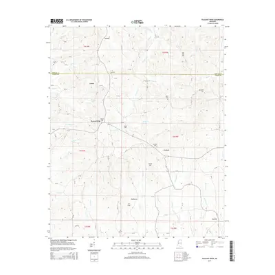
1982 Keownville
Union County, MS

1982 Pleasant Ridge
Union County, MS
2000 Etta
Union County, MS
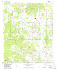
2012 Ellistown
Union County, MS
2012 Etta
Union County, MS
2012 Keownville
Union County, MS
2012 New Albany East
Union County, MS
2012 New Albany West
Union County, MS
2012 Pleasant Ridge
Union County, MS
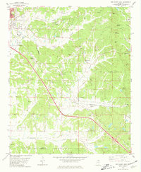
2015 Ellistown
Union County, MS
2015 Etta
Union County, MS
2015 Keownville
Union County, MS
2015 New Albany East
Union County, MS
2015 New Albany West
Union County, MS
2015 Pleasant Ridge
Union County, MS
2018 Ellistown
Union County, MS
2018 Etta
Union County, MS
2018 Keownville
Union County, MS
2018 New Albany East
Union County, MS
2018 New Albany West
Union County, MS
2018 Pleasant Ridge
Union County, MS
2020 Ellistown
Union County, MS
2020 Keownville
Union County, MS
2020 Pleasant Ridge
Union County, MS
2021 Etta
Union County, MS
2021 New Albany East
Union County, MS
2021 New Albany West
Union County, MS
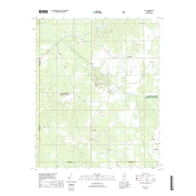
2024 Ellistown
Union County, MS
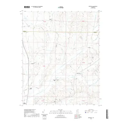
2024 Etta
Union County, MS
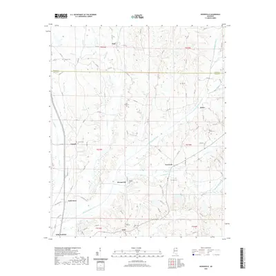
2024 Keownville
Union County, MS
2024 New Albany East
Union County, MS
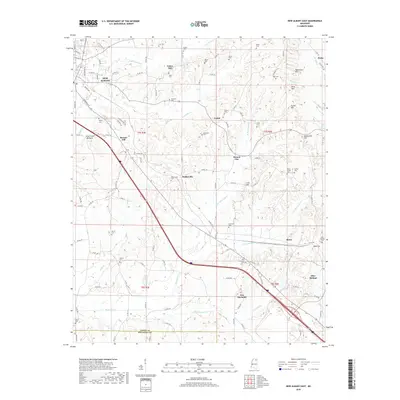
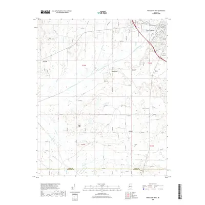
2024 New Albany West
Union County, MS
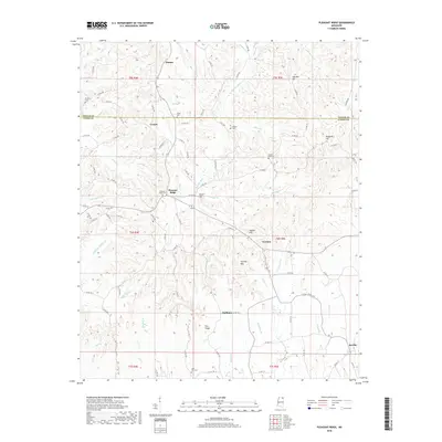
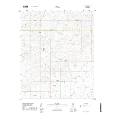
2024 Pleasant Ridge
Union County, MS