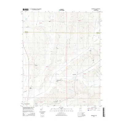
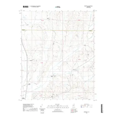
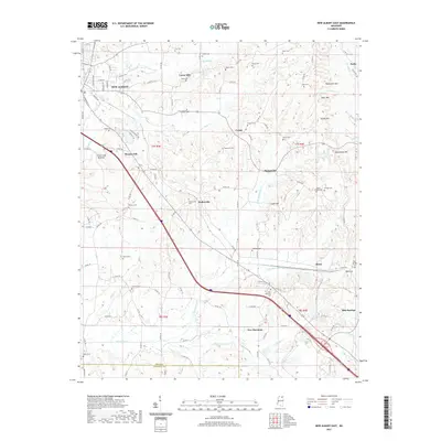
1980 Map of New Albany East
USGS Topo · Published 1981About this map
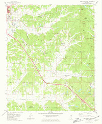
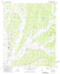
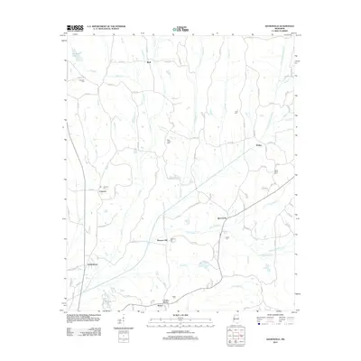
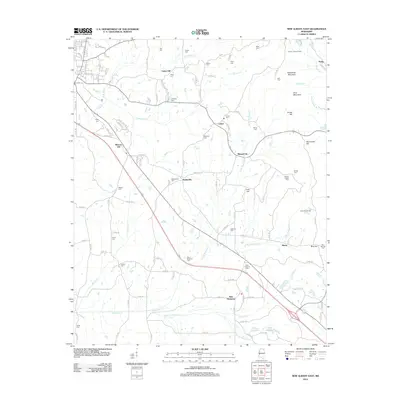
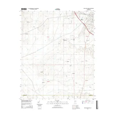
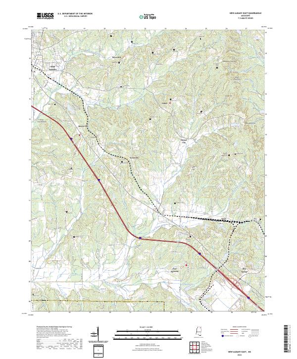
New Albany serves as the focal point for this survey of northeast Mississippi, where the St Louis-San Francisco railroad bisects the landscape in its passage toward the Tennessee state line. The map captures a transition from the urban fringes of New Albany into a rural terrain defined by small farming communities like Wallerville and Mound City. The topography is marked by several prominent elevations, including Rakestraw Mountain and Briar Mountain, which overlook the headwaters of King Creek and the various branches of the Caldwell Creek system.
Find a feature on this map
52 named features on this map. Tap any name to fly to it.
Don’t see what you’re looking for? This feature index may not catch every label — zoom into the map to look around manually.
Map Details
Editions of this 1980 New Albany East Map
This is the sole edition of this map. No revisions or reprints were ever made.
Historical Maps of New Albany Through Time
37 maps found
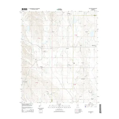
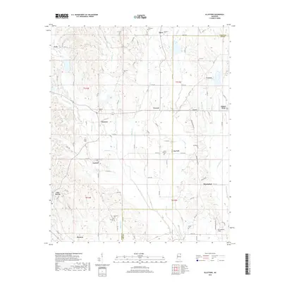
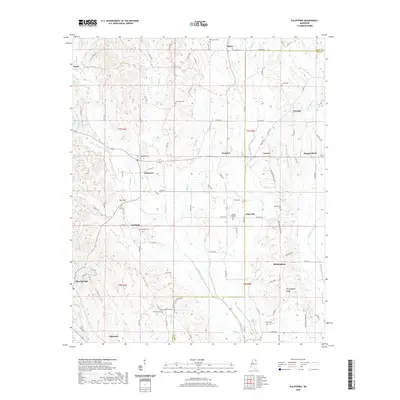
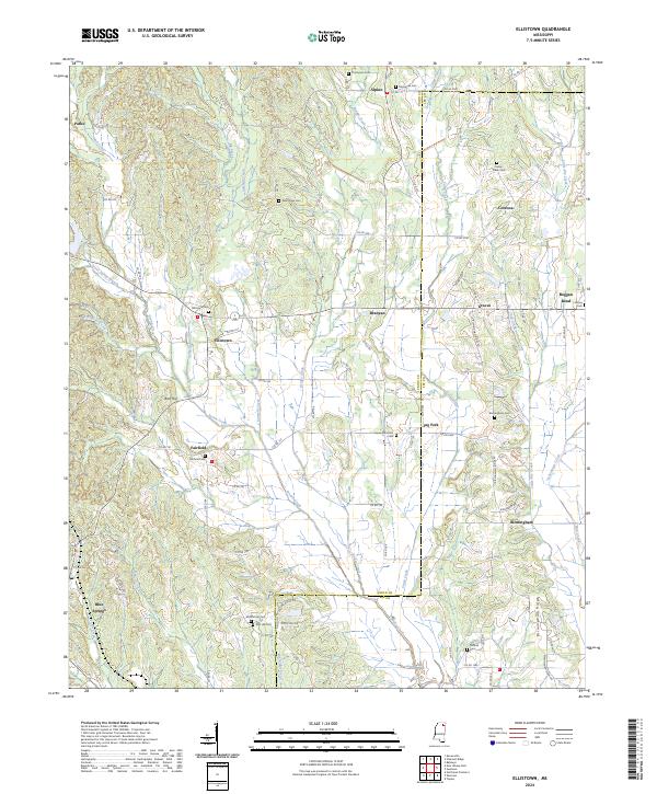
1980 Ellistown
Union County, MS
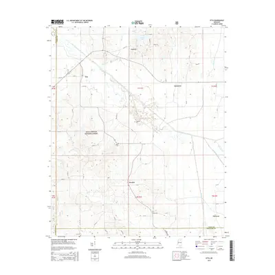
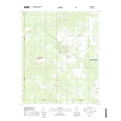
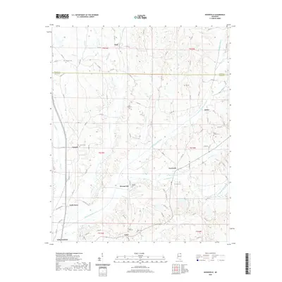
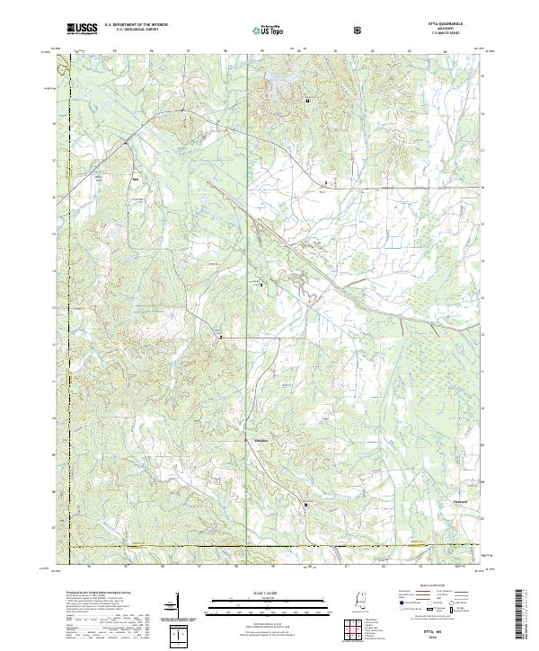
1980 Etta
Union County, MS
1980 New Albany East
Union County, MS
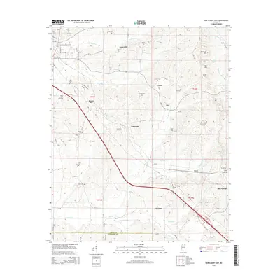
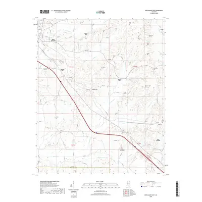
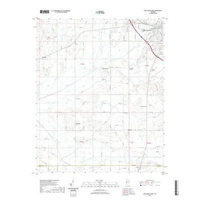
1980 New Albany West
Union County, MS
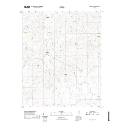
1982 Keownville
Union County, MS

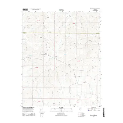
1982 Pleasant Ridge
Union County, MS
2000 Etta
Union County, MS
2012 Ellistown
Union County, MS
2012 Etta
Union County, MS
2012 Keownville
Union County, MS
2012 New Albany East
Union County, MS
2012 New Albany West
Union County, MS
2012 Pleasant Ridge
Union County, MS
2015 Ellistown
Union County, MS
2015 Etta
Union County, MS
2015 Keownville
Union County, MS
2015 New Albany East
Union County, MS
2015 New Albany West
Union County, MS
2015 Pleasant Ridge
Union County, MS
2018 Ellistown
Union County, MS
2018 Etta
Union County, MS
2018 Keownville
Union County, MS
2018 New Albany East
Union County, MS
2018 New Albany West
Union County, MS
2018 Pleasant Ridge
Union County, MS
2020 Ellistown
Union County, MS
2020 Keownville
Union County, MS
2020 Pleasant Ridge
Union County, MS
2021 Etta
Union County, MS
2021 New Albany East
Union County, MS
2021 New Albany West
Union County, MS
2024 Ellistown
Union County, MS
2024 Etta
Union County, MS
2024 Keownville
Union County, MS
2024 New Albany East
Union County, MS
2024 New Albany West
Union County, MS
2024 Pleasant Ridge
Union County, MS