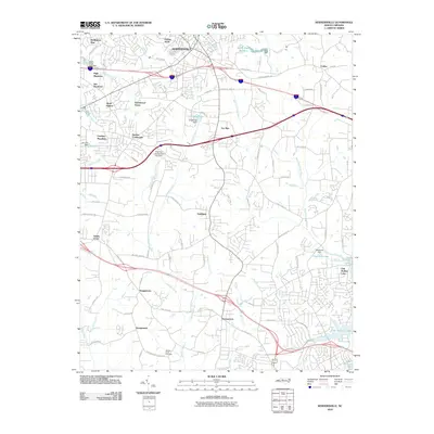
2010 Map of Kernersville
USGS Topo · Published 2010About this map
Kernersville serves as the central hub of this North Carolina quadrangle, showing the extensive suburban expansion and residential developments of the early 21st century. The landscape is characterized by numerous subdivisions such as Christy Acres, Glennwood Acres, and Quail Hollow, which are interspersed with older, smaller communities like Beeson Crossroads and Colfax. A significant network of water bodies, including Oak Hollow Lake and Hutchens Lake, indicates the importance of managed water resources for the region's growth.
Find a feature on this map
85 named features on this map. Tap any name to fly to it.
Don’t see what you’re looking for? This feature index may not catch every label — zoom into the map to look around manually.
Map Details
Editions of this 2010 Kernersville Map
This is the sole edition of this map. No revisions or reprints were ever made.
Other maps of this area

1949 · Eller
USGS Topo · 1:24,000

1949 · High Point West
USGS Topo · 1:24,000

1950 · High Point East
USGS Topo · 1:24,000

1950 · Winston-Salem East
USGS Topo · 1:24,000

1951 · Winston-Salem East
USGS Topo · 1:24,000

1951 · High Point East
USGS Topo · 1:24,000

1951 · Guilford
USGS Topo · 1:24,000

1951 · Walkertown
USGS Topo · 1:24,000

1953 · Raleigh
USGS Topo · 1:250,000

1953 · Charlotte
USGS Topo · 1:250,000