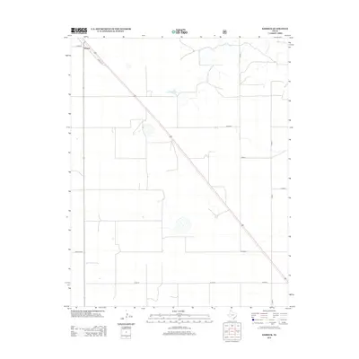
2012 Map of Kerrick
USGS Topo · Published 2012About this map
The small settlement of Kerrick serves as the focal point of this North Texas panhandle landscape, situated at the junction of Santa Fe Ln and Hank Ln. The terrain is characterized by the wide, rectilinear geometry of a high-plains agricultural system, where the section-line road network includes corridors such as Co Road D, Co Road H, and Allen Ln.
Find a feature on this map
13 named features on this map. Tap any name to fly to it.
Don’t see what you’re looking for? This feature index may not catch every label — zoom into the map to look around manually.
Map Details
Editions of this 2012 Kerrick Map
This is the sole edition of this map. No revisions or reprints were ever made.
Other maps of this area

1954 · Dalhart
USGS Topo · 1:250,000

1958 · Dalhart
USGS Topo · 1:250,000

1962 · Dalhart
USGS Topo · 1:250,000

1964 · Brickel
USGS Topo · 1:24,000

1964 · Kerrick
USGS Topo · 1:24,000

1964 · Stratford 2 SE
USGS Topo · 1:24,000

1964 · Stratford 2 NE
USGS Topo · 1:24,000

1964 · Stratford
USGS Topo · 1:24,000

1964 · Stratford NE
USGS Topo · 1:24,000

1971 · Griggs SW
USGS Topo · 1:24,000