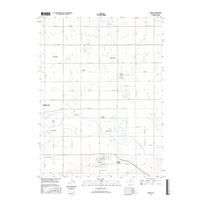
2016 Map of Kersey
USGS Topo · Published 2016About this map
The South Platte River and its confluence with the Cache la Poudre River define this portion of the Colorado plains, creating a complex hydrologic landscape of riverine islands and wetlands. Between these waterways lies The Delta and Scout Island, where the natural river flow meets an extensive network of human engineering. The map reveals the critical importance of water management in Weld County, tracing the paths of the Greeley-Number 2 Canal, Ogilvy Ditch, and Latham Ditch. These irrigation features support the agricultural development surrounding the town of Kersey and the smaller settlements of Gill, Alden, and Spanish Village. The northern half of the quadrangle is dominated by more intermittent drainage, such as Owl Cr and Lone Tree Cr, alongside numerous storage bodies including Howards Lake and Faber Reservoir, reflecting the intensive water capture necessary for prairie life.
Find a feature on this map
79 named features on this map. Tap any name to fly to it.
Don’t see what you’re looking for? This feature index may not catch every label — zoom into the map to look around manually.
Map Details
Editions of this 2016 Kersey Map
This is the sole edition of this map. No revisions or reprints were ever made.
Other maps of this area
1902 · Greeley
USGS Topo · 1:125,000
1908 · Eaton
USGS Topo · 1:125,000
1910 · Eaton
USGS Topo · 1:125,000
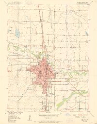
1950 · Greeley
USGS Topo · 1:24,000
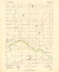
1950 · Kersey
USGS Topo · 1:24,000
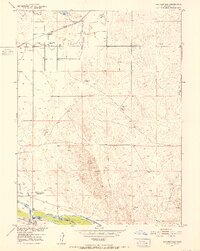
1950 · Barnesville
USGS Topo · 1:24,000
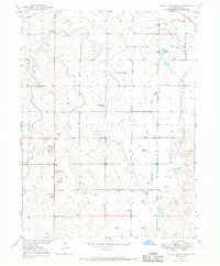
1950 · Valley View School
USGS Topo · 1:24,000
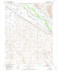
1950 · Hardin
USGS Topo · 1:24,000
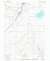
1950 · La Salle
USGS Topo · 1:24,000
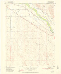
1951 · Hardin
USGS Topo · 1:24,000