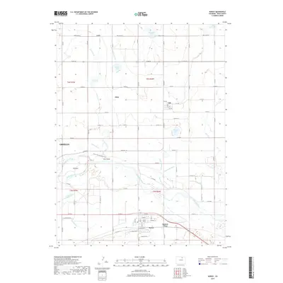
2019 Map of Kersey
USGS Topo · Published 2019About this map
The confluence of the South Platte River and the Cache la Poudre River anchors this landscape in Weld County, where a sophisticated network of irrigation systems supports the region's agricultural productivity. Named infrastructure such as the Ogilvy Ditch, Latham Ditch, and the Greeley Number 2 Canal crisscross the terrain, reflecting over a century of water management essential to local farming. The town of Kersey serves as a primary hub, joined by smaller settlements like Gill, Alden, and Lowe. Distinctive landmarks include Scout Island and The Delta within the river basins, alongside several water bodies like Briscoe Lake and Lindies Lakes. This survey captures the integration of rural communities and industrial waterworks, with the expanding footprint of Greeley appearing on the western edge, providing a detailed view of the modern infrastructure and historic irrigation routes that continue to shape the Front Range plains.
Find a feature on this map
82 named features on this map. Tap any name to fly to it.
Don’t see what you’re looking for? This feature index may not catch every label — zoom into the map to look around manually.
Map Details
Editions of this 2019 Kersey Map
This is the sole edition of this map. No revisions or reprints were ever made.
Other maps of this area

1902 · Greeley
USGS Topo · 1:125,000

1908 · Eaton
USGS Topo · 1:125,000

1910 · Eaton
USGS Topo · 1:125,000

1950 · Greeley
USGS Topo · 1:24,000

1950 · Kersey
USGS Topo · 1:24,000

1950 · Barnesville
USGS Topo · 1:24,000

1950 · Valley View School
USGS Topo · 1:24,000

1950 · Hardin
USGS Topo · 1:24,000

1950 · La Salle
USGS Topo · 1:24,000

1951 · Hardin
USGS Topo · 1:24,000