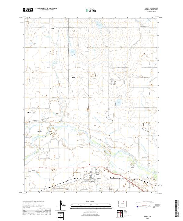
2022 Map of Kersey
USGS Topo · Published 2022About this map
The confluence of the Cache la Poudre River and the South Platte River anchors this study of Weld County irrigation and settlement. This landscape, known locally as The Delta, is defined by an intricate network of water management, including the Latham Ditch, Ogilvy Ditch, and Eaton Ditch, which transformed the arid plains into the productive Pleasant Valley. These waterways illustrate the critical importance of water rights and engineering in the development of the region's agricultural economy.
Find a feature on this map
83 named features on this map. Tap any name to fly to it.
Don’t see what you’re looking for? This feature index may not catch every label — zoom into the map to look around manually.
Map Details
Editions of this 2022 Kersey Map
This is the sole edition of this map. No revisions or reprints were ever made.
Other maps of this area

1902 · Greeley
USGS Topo · 1:125,000

1908 · Eaton
USGS Topo · 1:125,000

1910 · Eaton
USGS Topo · 1:125,000

1950 · Greeley
USGS Topo · 1:24,000

1950 · Kersey
USGS Topo · 1:24,000

1950 · Barnesville
USGS Topo · 1:24,000

1950 · Valley View School
USGS Topo · 1:24,000

1950 · Hardin
USGS Topo · 1:24,000

1950 · La Salle
USGS Topo · 1:24,000

1951 · Hardin
USGS Topo · 1:24,000