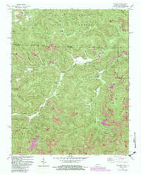
1980 Map of Ketchen
USGS Topo · Published 1983About this map
Daniel Boone National Forest dominates the northern reaches of this landscape, where the Kentucky and Tennessee state line crosses through the high ridges of the Cumberland Plateau. The terrain is defined by a dense network of mountain gaps and family-named hollows, such as Chitwood Hollow and Sugar Camp Hollow, reflecting the deep-rooted settlement patterns of the region. Local genealogy is well-documented through numerous hillside burials including the Stephens Cem, Wright Cem, and Angel Cem.
Find a feature on this map
73 named features on this map. Tap any name to fly to it.
Don’t see what you’re looking for? This feature index may not catch every label — zoom into the map to look around manually.
Map Details
Editions of this 1980 Ketchen Map
2 editions found
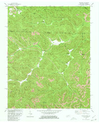
Other maps of this area

1890 · Williamsburg
USGS Topo · 1:125,000

1893 · Briceville
USGS Topo · 1:125,000

1894 · Williamsburg
USGS Topo · 1:125,000

1895 · Briceville
USGS Topo · 1:125,000

1896 · Briceville
USGS Topo · 1:125,000

1936 · Ivydell
USGS Topo · 1:24,000

1936 · Pioneer
USGS Topo · 1:24,000

1936 · La Follette
USGS Topo · 1:48,000
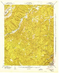
1946 · Ivydell
USGS Topo · 1:24,000
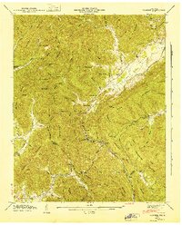
1946 · Pioneer
USGS Topo · 1:24,000