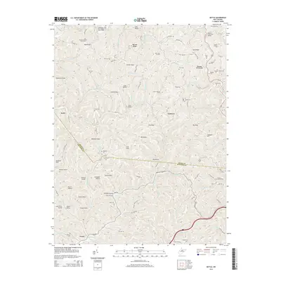
2014 Map of Kettle
USGS Topo · Published 2014About this map
Doddtown and Kettle anchor this section of the West Virginia landscape, where the border between Roane Co and Kanawha Co winds through a dense network of hollows and ridges. The map reveals an active energy landscape, specifically detailing the Rock Creek Oil Field, Green Creek Oil Field, and McKown Creek Oil Field, which illustrate the industrial footprint of the region during this era. Community life is represented by numerous family-named landmarks and spiritual centers such as the Mt Moriah Baptist Church Cem.
Find a feature on this map
124 named features on this map. Tap any name to fly to it.
Don’t see what you’re looking for? This feature index may not catch every label — zoom into the map to look around manually.
Map Details
Editions of this 2014 Kettle Map
This is the sole edition of this map. No revisions or reprints were ever made.
Other maps of this area

1897 · Kanawha Falls
USGS Topo · 1:125,000

1899 · Charleston
USGS Topo · 1:125,000

1900 · Kanawha Falls
USGS Topo · 1:125,000

1901 · Kanawha Falls
USGS Topo · 1:125,000

1906 · Kenna
USGS Topo · 1:62,500

1906 · Walton
USGS Topo · 1:62,500

1907 · Kenna
USGS Topo · 1:62,500

1907 · Walton
USGS Topo · 1:62,500

1907 · Clendenin
USGS Topo · 1:62,500

1909 · Charleston
USGS Topo · 1:62,500