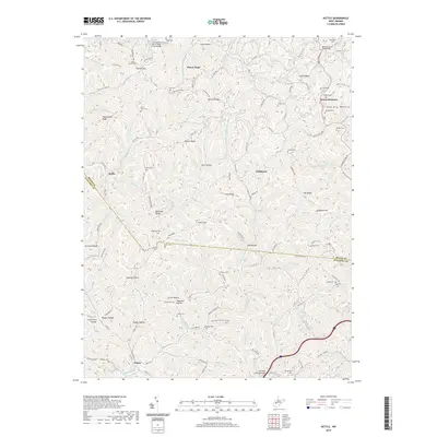
2019 Map of Kettle
USGS Topo · Published 2019About this map
Pocatalico River meanders through the northern hills of this region, characterized by a complex network of ridges and hollows that define local life and travel. Settlement is concentrated along the narrow valley floors, with small communities like Kettle, Doddtown, and Frame serving as focal points for the surrounding rural area. The land is intricately named, with family legacies preserved in features such as Robinson Ridge, Paxton Ridge, and Pigeonroost Ridge.
Find a feature on this map
128 named features on this map. Tap any name to fly to it.
Don’t see what you’re looking for? This feature index may not catch every label — zoom into the map to look around manually.
Map Details
Editions of this 2019 Kettle Map
This is the sole edition of this map. No revisions or reprints were ever made.
Other maps of this area

1897 · Kanawha Falls
USGS Topo · 1:125,000

1899 · Charleston
USGS Topo · 1:125,000

1900 · Kanawha Falls
USGS Topo · 1:125,000

1901 · Kanawha Falls
USGS Topo · 1:125,000

1906 · Kenna
USGS Topo · 1:62,500

1906 · Walton
USGS Topo · 1:62,500

1907 · Kenna
USGS Topo · 1:62,500

1907 · Walton
USGS Topo · 1:62,500

1907 · Clendenin
USGS Topo · 1:62,500

1909 · Charleston
USGS Topo · 1:62,500