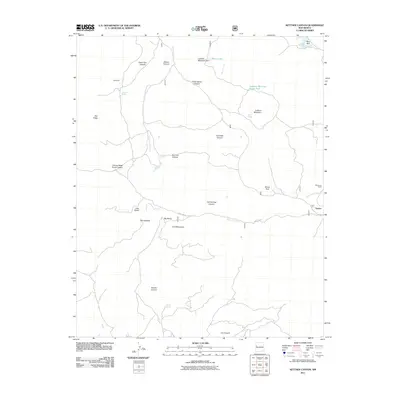
2011 Map of Kettner Canyon
USGS Topo · Published 2011About this map
The Zuni Mountains define this high-altitude New Mexico landscape, marked by a series of narrow passages including Little Notch, Big Notch, and the formation known as The Notches. Remote ranching activity is centered around Wilcoxson Ranch and the small settlement of Sawyer, connected by Forest Rd 50. The terrain is deeply incised by drainages such as Kettner Canyon and Muerto Canyon, where life-sustaining water sources like Muerto Spring and Wells Spring provided essential resources for local operations. Prominent elevations including Oso Ridge and Lookout Mountain dominate the horizon, overlooking basins like Rice Park and Dinner Park. This 2011 survey documents a rugged portion of the Eastern Navajo Agency, reflecting a modern period where legacy land names and ranching outposts persist alongside established forest access routes.
Find a feature on this map
30 named features on this map. Tap any name to fly to it.
Don’t see what you’re looking for? This feature index may not catch every label — zoom into the map to look around manually.
Map Details
Editions of this 2011 Kettner Canyon Map
This is the sole edition of this map. No revisions or reprints were ever made.
Other maps of this area

1886 · Wingate
USGS Topo · 1:250,000

1892 · Wingate
USGS Topo · 1:250,000

1952 · Valle Largo
USGS Topo · 1:24,000

1952 · Post Office Flat
USGS Topo · 1:24,000

1954 · Gallup
USGS Topo · 1:250,000

1958 · Gallup
USGS Topo · 1:250,000

1959 · Gallup
USGS Topo · 1:250,000

1961 · Cottonwood Canyon
USGS Topo · 1:24,000

1962 · Gallup
USGS Topo · 1:250,000

1962 · Cottonwood Canyon
USGS Topo · 1:24,000