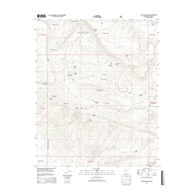
2013 Map of Kettner Canyon
USGS Topo · Published 2013About this map
The Continental Divide winds through this high-altitude landscape in the Zuni Mountains, marking a primary geographic spine within the Cibola National Forest. The map documents a rugged terrain defined by a network of drainage systems and significant geological breaks, including The Notches, Little Notch, and Big Notch. Named landmarks such as Lookout Mountain Rim and Lookout Mtn dominate the northern horizons, overlooking numerous canyons like Kettner Canyon and Monighan Canyon.
Find a feature on this map
43 named features on this map. Tap any name to fly to it.
Don’t see what you’re looking for? This feature index may not catch every label — zoom into the map to look around manually.
Map Details
Editions of this 2013 Kettner Canyon Map
This is the sole edition of this map. No revisions or reprints were ever made.
Other maps of this area

1886 · Wingate
USGS Topo · 1:250,000

1892 · Wingate
USGS Topo · 1:250,000

1952 · Valle Largo
USGS Topo · 1:24,000

1952 · Post Office Flat
USGS Topo · 1:24,000

1954 · Gallup
USGS Topo · 1:250,000

1958 · Gallup
USGS Topo · 1:250,000

1959 · Gallup
USGS Topo · 1:250,000

1961 · Cottonwood Canyon
USGS Topo · 1:24,000

1962 · Gallup
USGS Topo · 1:250,000

1962 · Cottonwood Canyon
USGS Topo · 1:24,000