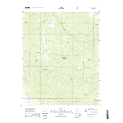
2020 Map of Kettner Canyon
USGS Topo · Published 2020About this map
The Continental Divide winds through this high-elevation landscape within the Cibola National Forest, marking the watershed of the Zuni Mountains. This 2020 survey details a region defined by complex drainage systems and named landmarks that reflect local ranching and topographic history. Named features like Johnny Mack Corral Canyon and Camp Two Canyon suggest a legacy of high-country livestock management, while reliable water sources such as Wells Spring, Muerto Spring, and the Lookout Mountain Stock Tank were critical for survival in this arid environment. The map highlights significant geological formations including Oso Ridge and The Notches, providing an intricate view of the terrain as it appeared in the early 21st century, intersected by forest routes like Forest Rd 50 and motorized trails.
Find a feature on this map
41 named features on this map. Tap any name to fly to it.
Don’t see what you’re looking for? This feature index may not catch every label — zoom into the map to look around manually.
Map Details
Editions of this 2020 Kettner Canyon Map
This is the sole edition of this map. No revisions or reprints were ever made.
Other maps of this area

1886 · Wingate
USGS Topo · 1:250,000

1892 · Wingate
USGS Topo · 1:250,000

1952 · Valle Largo
USGS Topo · 1:24,000

1952 · Post Office Flat
USGS Topo · 1:24,000

1954 · Gallup
USGS Topo · 1:250,000

1958 · Gallup
USGS Topo · 1:250,000

1959 · Gallup
USGS Topo · 1:250,000

1961 · Cottonwood Canyon
USGS Topo · 1:24,000

1962 · Gallup
USGS Topo · 1:250,000

1962 · Cottonwood Canyon
USGS Topo · 1:24,000